Loading trail…

Free — you'll pick up right here.
Watch this trail
Sign up to watch it — saving subscribes you to gate, closure and report changes.
Colorado
7.4 mi
Distance
536 ft
Gain
We won't guess. Here is exactly what we do and don't know.
What we do know
Inside Pike and San Isabel National Forests
2 managing-area boundaries mapped — agency alerts for them feed this page automatically.
Boundary data
What's missing
No access route mapped
We don't yet know which road reaches this trailhead, so we can't tell you if it's gated.
Nobody's filed a report here yet — be the first.
Why you'll love it
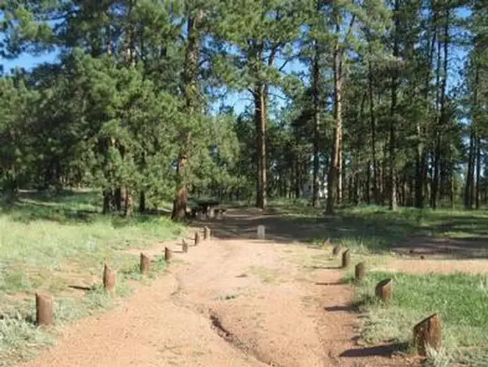
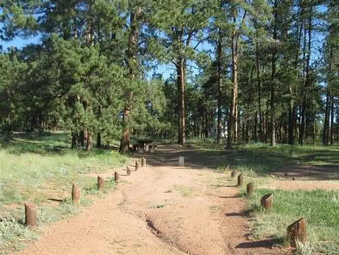
Longwater
AI-suggested draft · review before you go
Longwater is a 7.4-mile out-and-back trail located in Colorado near Colorado in the San Juan National Forest, managed by the Columbine Ranger District. The route features 536 feet of elevation gain, making it a moderate day hike suitable for hikers with basic fitness levels. The trail traverses San Juan National Forest terrain, offering access to the natural landscape of the Columbine Ranger District. As an out-and-back route, hikers will retrace their path, covering approximately 14.8 miles round trip. The moderate elevation gain is distributed across the 7.4-mile distance to the turnaround point, creating a steady but manageable climb. This profile makes Longwater accessible to a range of experience levels while still providing a meaningful outdoor experience. The San Juan National Forest encompasses diverse ecosystems and scenic areas across southwestern Colorado. The Columbine Ranger District manages trails and recreation throughout this region. Hikers should check with the managing agency for current conditions, any seasonal closures, and specific regulations before heading out.

Hardrock
~13 min drive
1.6 mi · Easy

Hankins Pass Trail
~13 min drive
13 mi · Hard

Puma Point
~15 min drive
1.4 mi · Easy

Hornbek Wildlife Loop
~19 min drive
7.2 mi · Easy

North Loop
~25 min drive
0.7 mi · Easy
Colorado Cg
~25 min drive
1.4 mi · Easy

Indian Cave
~26 min drive
2.5 mi · Easy

Fern South
~32 min drive
2.4 mi · Easy

The Crags Trail
~32 min drive
4.9 mi · Moderate
Platte Springs
~1 min drive
2.2 mi · Hard