Loading trail…

Free — you'll pick up right here.
Watch this trail
Sign up to watch it — saving subscribes you to gate, closure and report changes.
Colorado
1.4 mi
Distance
17 ft
Gain
We won't guess. Here is exactly what we do and don't know.
What we do know
Inside Pike and San Isabel National Forests
2 managing-area boundaries mapped — agency alerts for them feed this page automatically.
Boundary data
Access via US 24: Wilkerson Pass
Road status feeds from the state DOT 511 network.
State DOT 511 · 28 d ago
Nobody's filed a report here yet — be the first.
Why you'll love it
Puma Point
AI-suggested draft · review before you go
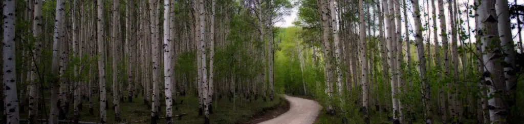
Puma Point is a short out-and-back trail located in Colorado near the San Juan National Forest's Columbine Ranger District. The trail spans 1.4 miles with minimal elevation gain of just 17 feet, making it an accessible option for hikers of varying abilities. The trail is maintained by the San Juan National Forest, Columbine Ranger District, ensuring proper upkeep and safety standards. Its modest distance and nearly flat terrain make it suitable for families, casual hikers, or those looking for a quick outdoor excursion without significant physical demand. As an out-and-back route, hikers will retrace their steps on the return journey. The trail provides access to Puma Point, offering a destination within the scenic San Juan National Forest landscape. This trail is ideal for those seeking a brief nature walk in Colorado's mountain terrain without requiring extensive hiking experience or stamina.

Hardrock
~18 min drive
1.6 mi · Easy

Hankins Pass Trail
~21 min drive
13 mi · Hard

Hornbek Wildlife Loop
~27 min drive
7.2 mi · Easy

North Loop
~40 min drive
0.7 mi · Easy
Colorado Cg
~40 min drive
1.4 mi · Easy

Indian Cave
~41 min drive
2.5 mi · Easy

The Crags Trail
~42 min drive
4.9 mi · Moderate
Lizard Rock
~13 min drive
4.6 mi · Easy
Longwater
~15 min drive
7.4 mi · Moderate
Overlook
~16 min drive
1.0 mi · Easy