Loading trail…

Free — you'll pick up right here.
Watch this trail
Sign up to watch it — saving subscribes you to gate, closure and report changes.
Colorado
1.5 mi
Distance
34 ft
Gain
We won't guess. Here is exactly what we do and don't know.
What we do know
Inside Grand Mesa, Uncompahgre and Gunnison National Forests
2 managing-area boundaries mapped — agency alerts for them feed this page automatically.
Boundary data
What's missing
No access route mapped
We don't yet know which road reaches this trailhead, so we can't tell you if it's gated.
Nobody's filed a report here yet — be the first.
Why you'll love it
Payne Mesa
AI-suggested draft · review before you go
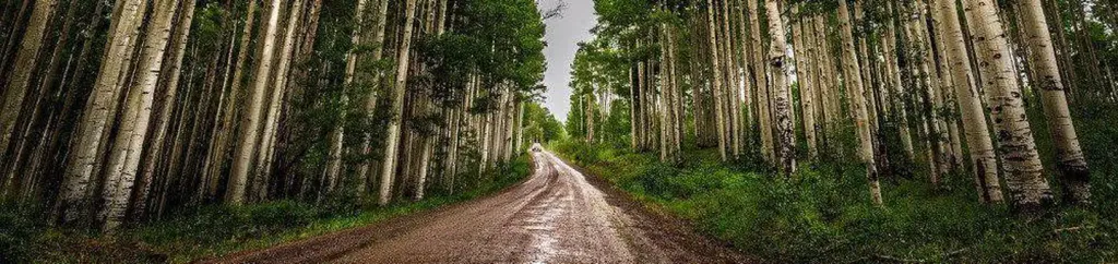
Payne Mesa is a 1.5-mile out-and-back trail located in Colorado's URA Unroaded Area Wilderness. This short route features minimal elevation gain of just 34 feet, making it accessible for hikers of various skill levels seeking a leisurely walk through undeveloped terrain. The trail traverses through a designated unroaded wilderness area, offering hikers the opportunity to explore Colorado's natural landscape away from developed infrastructure. The flat nature of this hike makes it suitable for families, casual walkers, or anyone looking for a quick outdoor excursion without significant elevation challenges. As an out-and-back route, hikers will follow the same path returning to the trailhead, allowing for flexible trip planning. The modest distance means most visitors can complete the hike in under an hour, making it ideal for those with limited time or those wanting to combine it with other nearby activities. This trail provides access to Colorado's wilderness character while remaining easy to navigate. Visitors should check current conditions and any area-specific regulations with the managing agency before heading out.

Coal Bank
~7 min drive
3.9 mi · Moderate
Old Transfer
~9 min drive
14 mi · Hard

Tabeguache (25 Mesa)
~11 min drive
6.5 mi · Easy

South Bear Pen Gulch
~22 min drive
5.5 mi · Moderate

Atkinson
~32 min drive
4.0 mi · Easy
Atkinson Bench
~32 min drive
8.1 mi · Moderate
East Basin
~3 min drive
5.2 mi · Moderate
Roubideau Area
~6 min drive
1.0 mi · Easy
Horseshoe Basin
~6 min drive
18 mi · Hard
41
~6 min drive
4.3 mi · Easy