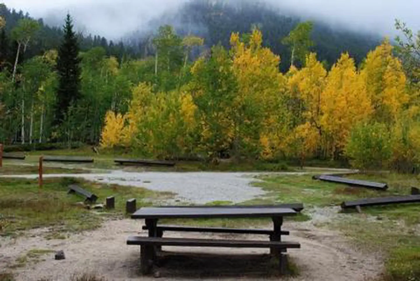
Loading trail…

Free — you'll pick up right here.
Watch this trail
Sign up to watch it — saving subscribes you to gate, closure and report changes.
Colorado
7.3 mi
Distance
506 ft
Gain
We won't guess. Here is exactly what we do and don't know.
What we do know
Inside Pike and San Isabel National Forests
2 managing-area boundaries mapped — agency alerts for them feed this page automatically.
Boundary data
Access via County Road 209/County Road 306: Cottonwood Pass
Road status feeds from the state DOT 511 network.
State DOT 511 · 32 d ago
Nobody's filed a report here yet — be the first.
Why you'll love it
Ptarmigan Lake
AI-suggested draft · review before you go
Ptarmigan Lake is a 3.7-mile loop trail located in Colorado near Columbine in the San Juan National Forest, managed by the Columbine Ranger District on the West side. The trail gains 506 feet in elevation, making it a moderate hike suitable for a range of fitness levels. This loop route takes hikers through the scenic terrain of the San Juan Mountains. The relatively modest elevation gain allows for a steady ascent without extreme difficulty, making it accessible for most hikers while still providing a rewarding workout. The trail is maintained by the San Juan National Forest Service, ensuring regular upkeep and adherence to forest management standards. As a loop trail, it offers the advantage of returning to the trailhead without retracing the same path, providing varied scenery throughout the hike. Ptarmigan Lake makes for a solid day hike option for those exploring the central Colorado high country. The combination of manageable distance and elevation gain, along with the loop format, contributes to its appeal for both casual hikers and those seeking a moderate mountain experience.

Lost Lake
~4 min drive
3.5 mi · Easy

Waterloo Gulch
~11 min drive
6.9 mi · Expert

Cascade Creek Trail
~16 min drive
0.9 mi · Easy

Pear Lake - Clohsey Lake
~16 min drive
6.1 mi · Hard

Three Elk
~17 min drive
6.2 mi · Hard
Bunny's Trail
~18 min drive
1.7 mi · Moderate
Colorado Trail Seg. 13 North Cottonwood Creek Road to Chalk Creek Trailhead
~18 min drive
46 mi · Expert

Missouri Mtn - Clohseys Lake
~18 min drive
3.1 mi · Hard

Three Apostles
~19 min drive
2.6 mi · Moderate
Silver Basin
~21 min drive
3.0 mi · Moderate