Loading trail…

Free — you'll pick up right here.
Watch this trail
Sign up to watch it — saving subscribes you to gate, closure and report changes.
Colorado
8.9 mi
Distance
35 ft
Gain
We won't guess. Here is exactly what we do and don't know.
What we do know
Inside Rio Grande National Forest
3 managing-area boundaries mapped — agency alerts for them feed this page automatically.
Boundary data
What's missing
No access route mapped
We don't yet know which road reaches this trailhead, so we can't tell you if it's gated.
Nobody's filed a report here yet — be the first.
Why you'll love it
Skyline
AI-suggested draft · review before you go
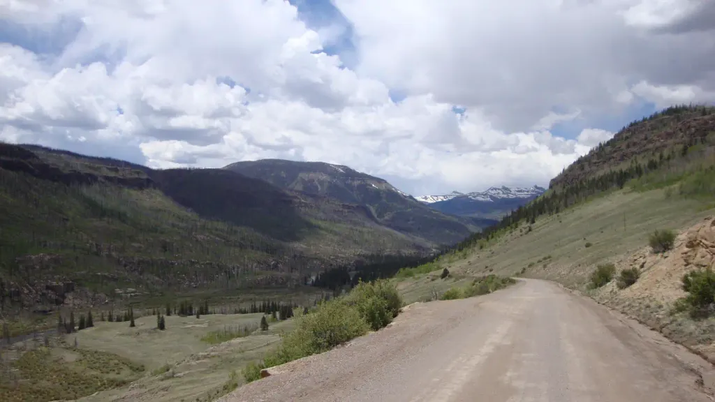
The Skyline Trail is an 8.9-mile out-and-back route located in Colorado near Colorado within Rio Grande National Forest, managed by the Conejos Peak Ranger District. This trail offers a gentle hiking experience with minimal elevation gain of just 35 feet, making it accessible for hikers of varying skill levels. The out-and-back format allows hikers to choose their own turnaround point, with the option to complete the full distance or hike partway and return. The trail's low elevation profile makes it suitable for those seeking a less strenuous outing while still enjoying the scenic qualities of the Rio Grande National Forest. Hikers should contact the Conejos Peak Ranger District for current trail conditions and any access information before visiting. The trail is maintained by Rio Grande National Forest and provides a straightforward hiking option in the Colorado backcountry.

Weminuche
~6 min drive
10 mi · Expert

Grizzly Creek
~7 min drive
19 mi · Expert

Williams Fork Lake
~17 min drive
4.8 mi · Hard

Little Sand
~23 min drive
21 mi · Hard
North Ridge
~23 min drive
7.8 mi · Moderate
Rincon La Osa
~5 min drive
12 mi · Expert
Snowslide
~6 min drive
9.4 mi · Expert
Grizzly Lake
~9 min drive
7.5 mi · Expert
West Ute
~9 min drive
10 mi · Hard
East Ute
~10 min drive
6.8 mi · Hard