Loading trail…

Free — you'll pick up right here.
Watch this trail
Sign up to watch it — saving subscribes you to gate, closure and report changes.
Colorado
8.7 mi
Distance
2,303 ft
Gain
We won't guess. Here is exactly what we do and don't know.
What we do know
Inside Rio Grande National Forest
3 managing-area boundaries mapped — agency alerts for them feed this page automatically.
Boundary data
What's missing
No access route mapped
We don't yet know which road reaches this trailhead, so we can't tell you if it's gated.
Nobody's filed a report here yet — be the first.
Why you'll love it
West Trout
AI-suggested draft · review before you go
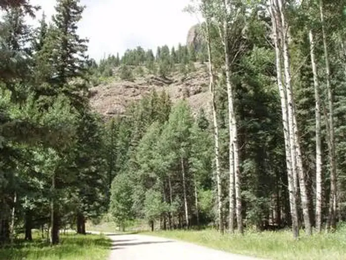
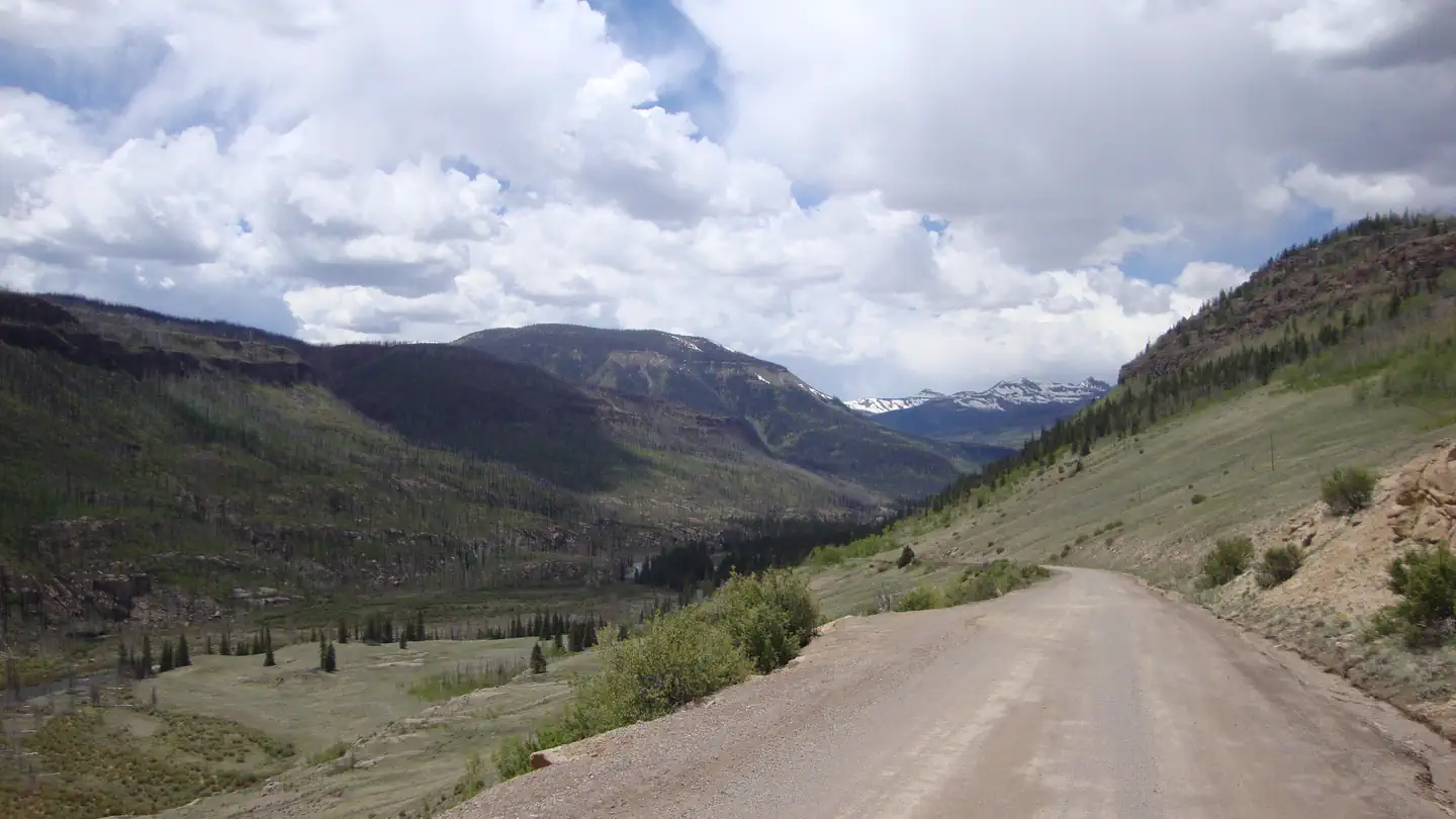
West Trout is a 4.3-mile loop trail located near Colorado in Colorado, managed by the Gunnison National Forest's Norwood Ranger District. The trail features significant elevation gain of 2,303 feet, making it a moderately challenging hike suited for those with solid cardiovascular fitness. The loop format allows hikers to experience varied terrain and scenery without retracing their steps. With nearly 2,300 feet of climbing compressed into a relatively compact distance, expect consistent grade changes throughout the hike. The trail is maintained by the GMUG National Forest, ensuring regular upkeep of the path and facilities. This route is ideal for hikers seeking a half-day adventure with considerable vertical gain. The combination of distance and elevation gain makes West Trout a solid workout option for intermediate to advanced hikers. The loop configuration provides a satisfying hiking experience with natural progression and descent.

Williams Fork Lake
~7 min drive
4.8 mi · Hard

Grizzly Creek
~18 min drive
19 mi · Expert

Weminuche
~19 min drive
10 mi · Expert
East Trout
~3 min drive
13 mi · Expert
Trout Creek
~5 min drive
12 mi · Moderate
Red Lakes
~7 min drive
9.6 mi · Moderate
Middle Creek
~7 min drive
6.5 mi · Moderate
Texas Creek
~9 min drive
11 mi · Expert
Palisade Meadows
~9 min drive
4.8 mi · Hard
Fern Creek
~9 min drive
18 mi · Expert