Loading trail…

Free — you'll pick up right here.
Watch this trail
Sign up to watch it — saving subscribes you to gate, closure and report changes.
Montana
9.0 mi
Distance
2,529 ft
Gain
We won't guess. Here is exactly what we do and don't know.
What we do know
Inside Custer Gallatin National Forest
2 managing-area boundaries mapped — agency alerts for them feed this page automatically.
Boundary data
What's missing
No access route mapped
We don't yet know which road reaches this trailhead, so we can't tell you if it's gated.
Nobody's filed a report here yet — be the first.
Why you'll love it
Mill Creek
AI-suggested draft · review before you go
No permit or access details on file for this trail — check with the local land manager before you go.
Mill Creek — Montana, 9.0 mi.
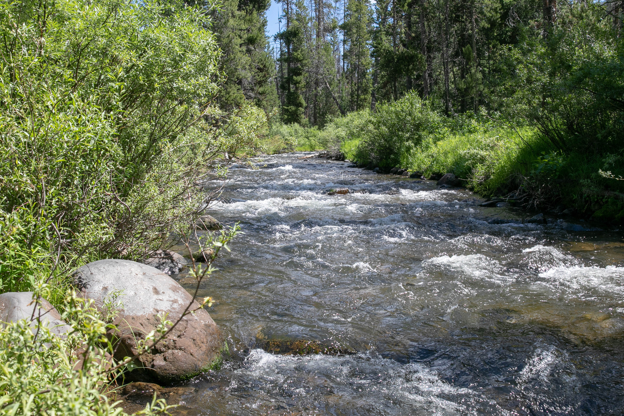
Specimen Creek Trailhead (WK3)
~17 min drive
The Specimen Creek trailhead is on the northwest side of Yellowstone near U.S. Highway 191. From this trailhead, you can embark on the following trail: Specimen Creek Trail Specimen Creek Trail A moderate to strenuous 16.4-mile (26.4 km) there-and-back trail that climbs thr…
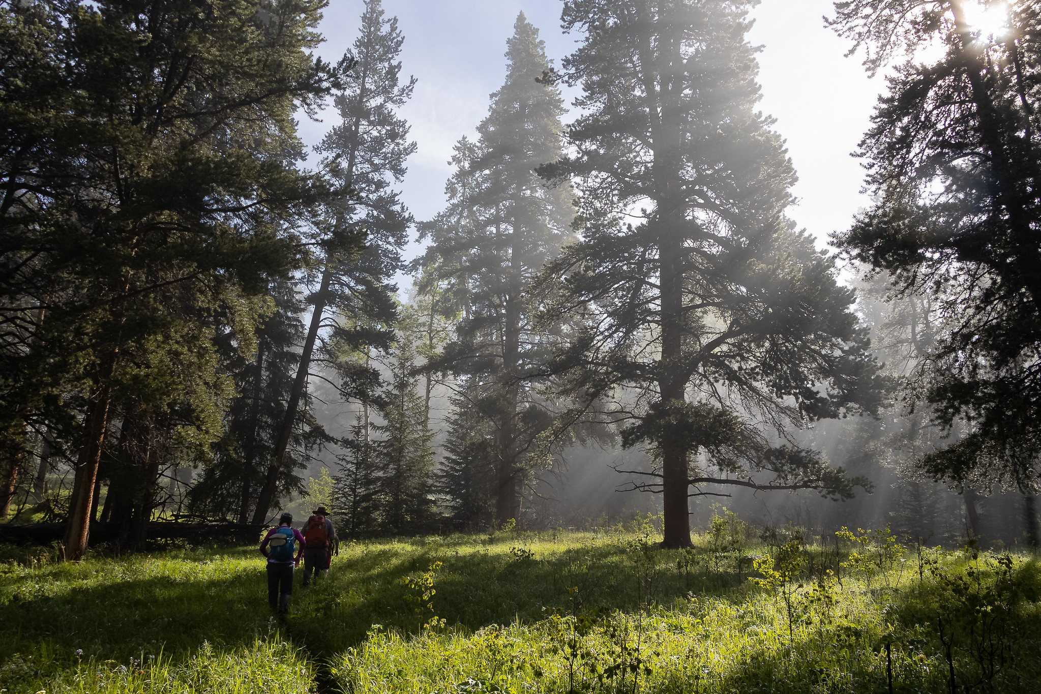
Black Butte Trailhead (WK2)
~18 min drive
The Black Butte trailhead is on the northwest side of Yellowstone near US Highway 191. From this trailhead, you can embark on the following trail: Black Butte Trail Black Butte Trail This is a strenuous 11.4-miles (18.3 km) there-and-back trail that climbs 3,100 feet (945 m…
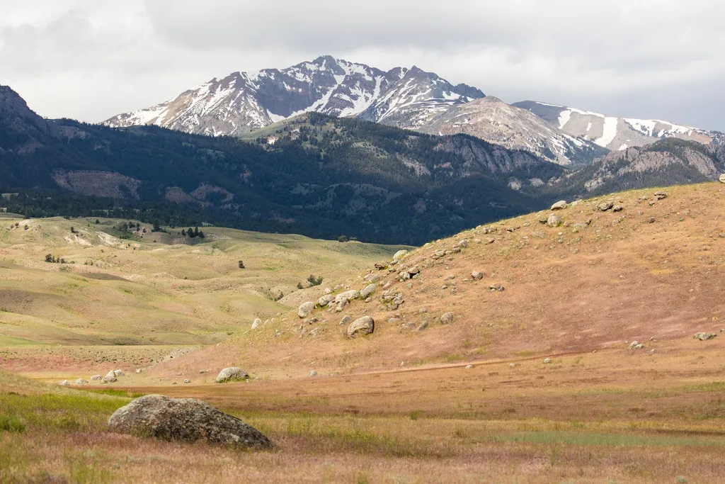
Rescue Creek Trailhead (1N2)
~19 min drive
Bunsen Peak prominently sits south of Mammoth Hot Springs. From this trailhead, you can embark on the following trails: Bunsen Peak Trail Bunsen Peak Road Trail Osprey Falls Trail Parking is limited. Winter trailhead access requires a snow coach drop-off, or skiing up from…
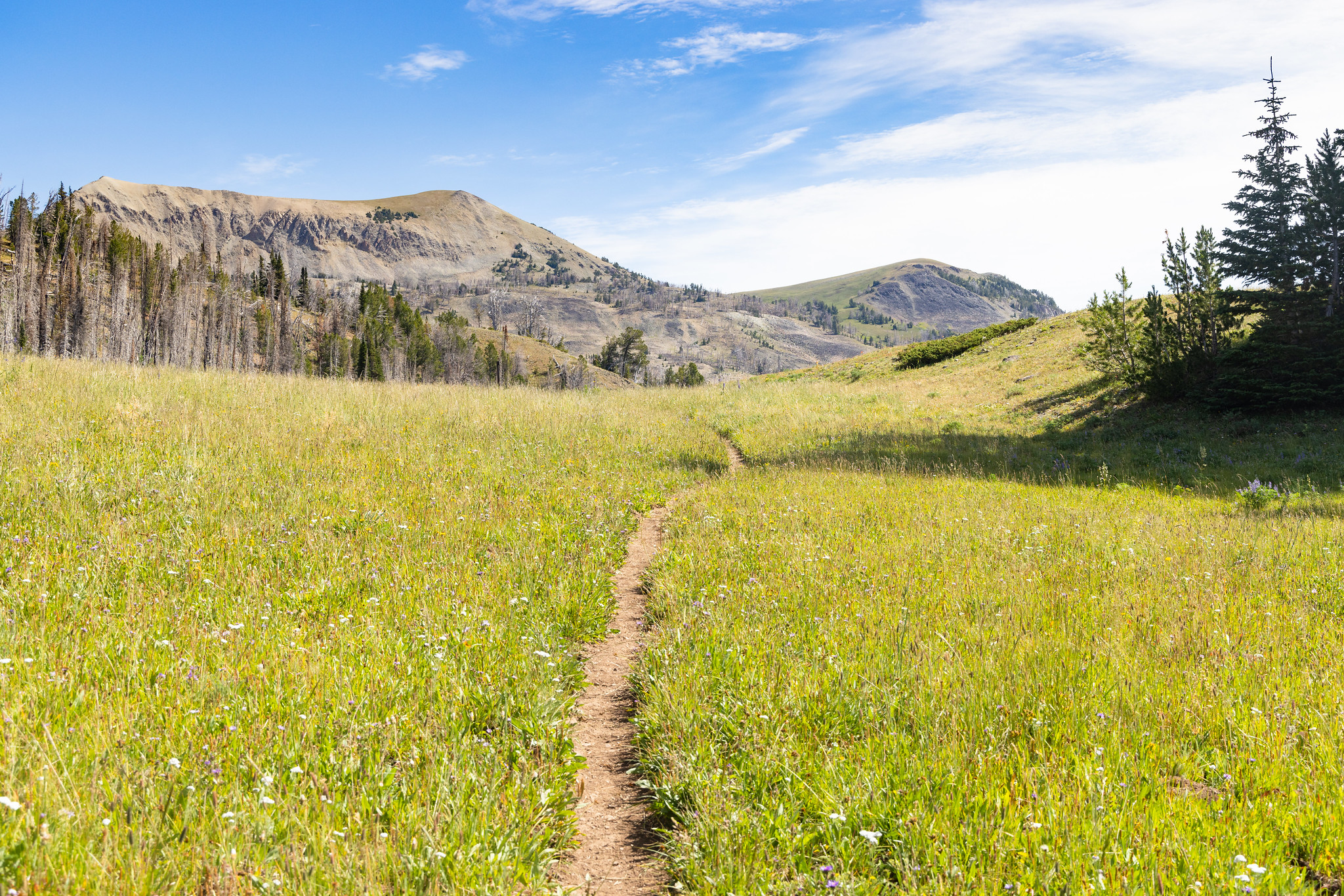
Fawn Pass Trailhead (WK5)
~20 min drive
The Fawn Pass trailhead is on the northwest side of Yellowstone near U.S. Highway 191. From this trailhead, you can embark on the following trail: Fawn Pass Trail Fawn Pass Trail This trail can either be a there and back 18-mile (28.9 km) strenuous hike to the top of Fawn P…
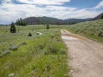
Bacon Rind Trailhead (WK4)
~20 min drive
The Bacon Rind trailhead is on the northwest side of Yellowstone near U.S. Highway 191. From this trailhead, you can embark on the following trail: Bacon Rind Trail Bacon Rind Trail A strenuous 10.2-mile (16.4 km) there-and-back trail that climbs 2,400 feet (731 m) through…
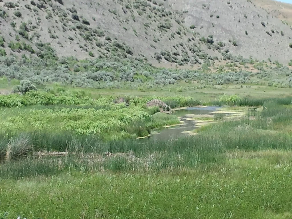
Boiling River
~20 min drive
<p><span style="color:#c0392b;"><strong>No swimming at Boiling River.</strong></span> Currently, swimming is not possible at Boiling River because of the impacts to the river from the <a href="https://www.nps.gov/yell/planyourvisit/flood-recovery.htm">2022 floods</a>.</p> <h2>…
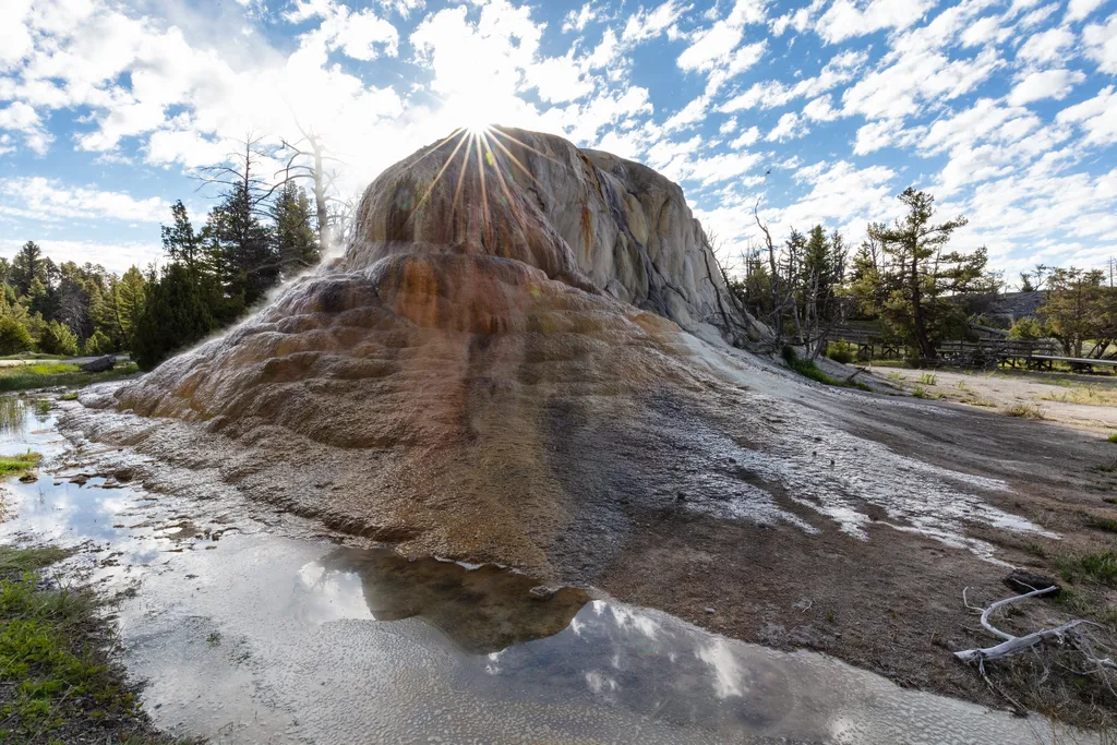
Orange Spring Mound
~20 min drive
<p>This spring flows from several vents from its top and side. Its striking colors come from the thermophiles living in the hot water. The road was recently moved away from the spring to allow the free flow of water and travertine formation.</p> <h2>Mammoth Hot Springs</h2> <p…
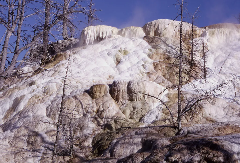
New Highland Terrace
~21 min drive
This terrace was active from the 1950s through the 1980s. Today, it is a stark, white cliffside leading to Orange Spring Mound to the southwest.
Beaver Ponds Trailhead (1N4)
~21 min drive
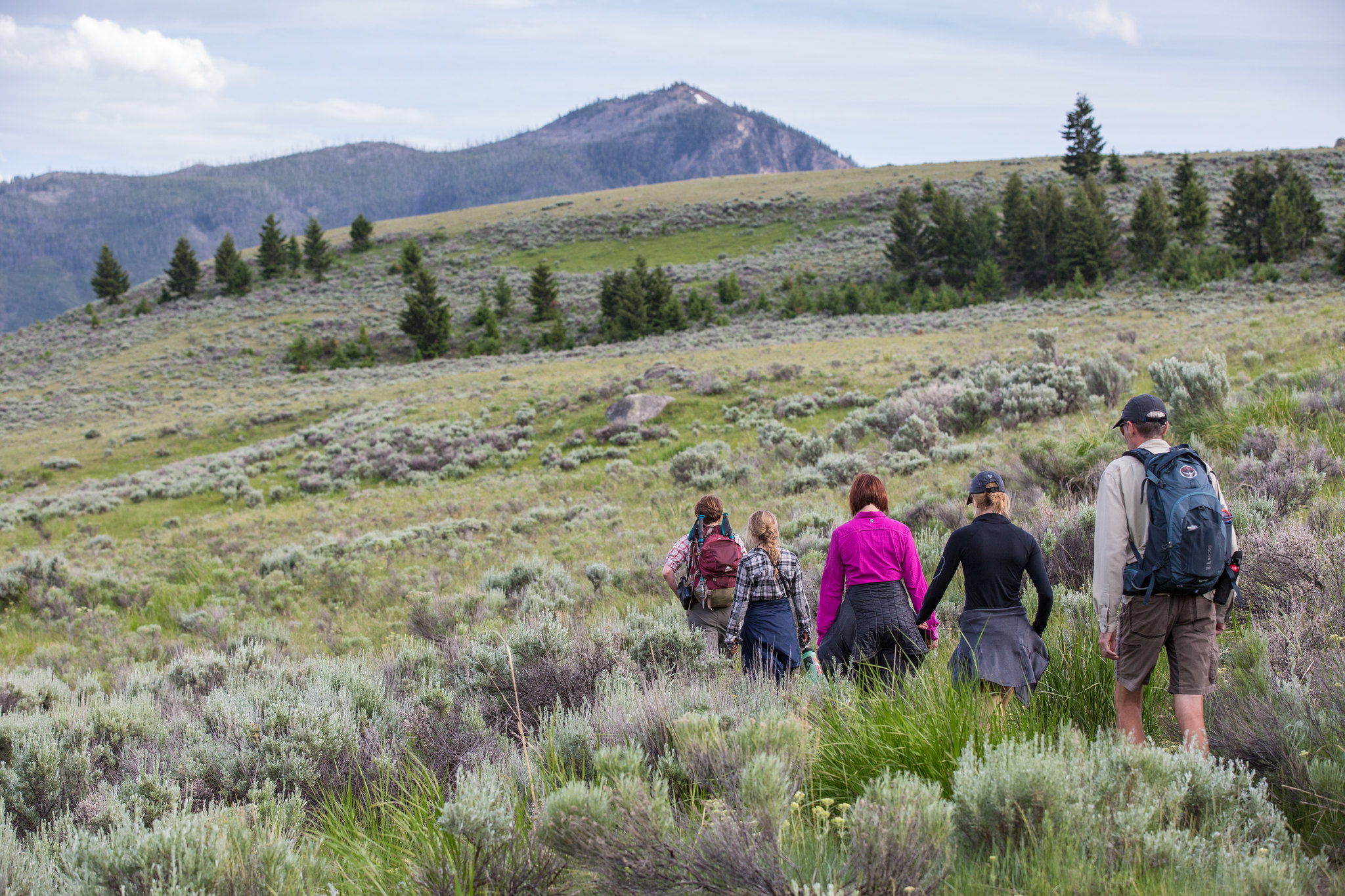
This trailhead is located behind the Mammoth Hot Springs Hotel, next to the start of the Old Gardiner Road. From this trailhead, you can access the following trails: Beaver Ponds Trail Selpulcher Mountain Trail There is no parking at the trailhead. However, there is parking…
Fort Yellowstone Overlook
~21 min drive
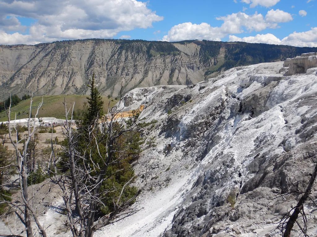
<p>The US Army administered the park from 1886 through 1918.</p> <p>In 1910, at the height of the Army's presence in Yellowstone, there were 324 soldiers here, plus some families and numerous civilian employees. These troops staffed Fort Yellowstone and the park's outposts.</p…
Also worth it near here