Loading trail…

Pipe Creek Vista
Free — you'll pick up right here.
Watch this trail
Sign up to watch it — saving subscribes you to gate, closure and report changes.
Arizona
We won't guess. Here is exactly what we do and don't know.
What we do know
Inside Grand Canyon National Park
National Park unit boundary is mapped — agency alerts for it feed this page automatically.
Boundary data
What's missing
No access route mapped
We don't yet know which road reaches this trailhead, so we can't tell you if it's gated.
Nobody's filed a report here yet — be the first.
Pipe Creek Vista
AI-suggested draft · review before you go
No elevation data on file for this trail.
Pipe Creek Vista is the first pullout on the left as you head east toward Desert View on Desert View Drive (State Route 64 East). It can be accessed by private vehicle or by using the free Kaibab/Rim (Orange) Route shuttle bus, which departs from the Visitor Center Shuttle Bus Terminal. Because this is the first scenic overlook east of the junction with South Entrance Road, this area can become quite congested with vehicle traffic. If that is the case when you arrive, continue driving east to Duck on a Rock, or Twin Overlooks. Pipe Creek Vista is not the "biggest" view of the canyon, but the drainage stretching away from you is nicely framed by Mather and Yaki points. As you stand along the rim at this viewpoint, observe the canyon walls below as well—you might notice a forest of Douglas fir. This is an example of a micro-habitat fueled by water and cooler temperatures resulting from shade cast by the canyon cliffs. This, combined with the canyon's thermals, make it an excellent stop for birding, especially in the spring and fall during the major migrations. The Canyon Rim Trail may be accessed here, with a 1.4 miles (2.3 km) walk on a paved trail west to Mather Point, or a 0.9 mile (1.4 km) walk east to the South Kaibab Trailhead. Either way, you will be treated with great views of the canyon as you walk the trail. This section of the Canyon Rim Trail is also part of the Greenway Trail, meaning that it is open to bicycles.
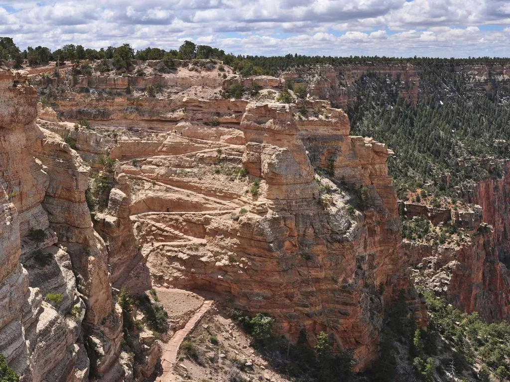
South Kaibab Trail
~1 min drive
Know Before You Go Before heading down into the canyon, consult the signs at the trailhead, and scan the QR code for trip planning, current weather, water availability, and trail information/closures. (or visit our Key Hiking Messages webpage). Trail Reopenings and Current C…
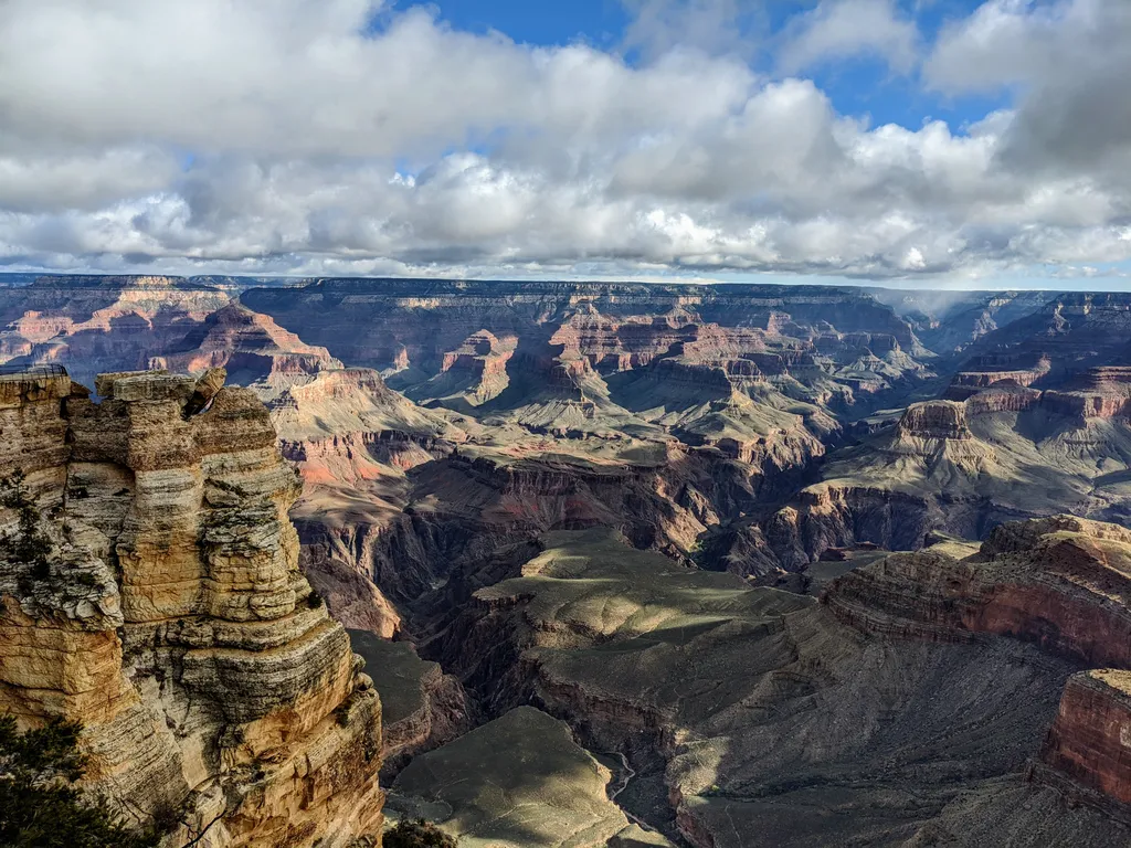
Rim Trail - Mather Point
~2 min drive
The Rim Trail is a mostly paved path that stretches roughly 13 miles (21 km) along the southern rim of Grand Canyon from South Kaibab Trailhead in the east to Hermits Rest in the west. Most people won't hike the whole trail in one go, but walking short sections of the rim can…
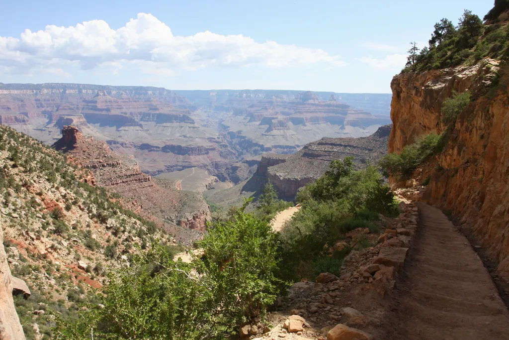
Bright Angel Trail
~5 min drive
The most popular hiking trail into Grand Canyon, the Bright Angel Trail lets hikers walk in the footsteps of the canyon's Indigenous peoples, miners, and early tourists, as they descend into the canyon's depths. Offering outstanding views, morning and afternoon shade, resthous…
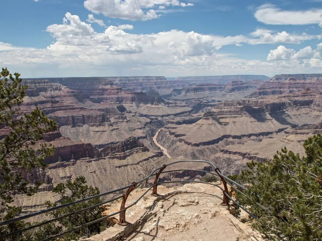
Mohave Point
~8 min drive
Another spectacular point for watching sunset, Mohave Point offers excellent views of the Colorado River deep in the canyon below. From here you can also see the Salt Creek, Granite, and Hermit rapids. Below this viewpoint, 'The Alligator' named by Emery Kolb points across th…
Hermit Trail Grand Canyon
~12 min drive
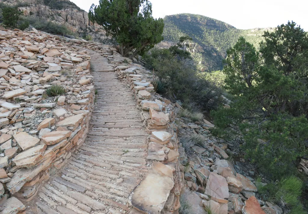
Louis D. Boucher, the "hermit" of Hermit Creek basin, lived in this area for 20 years. Boucher built the Boucher Trail (west of the Hermit Trail) and seasonal residences at Dripping Springs and near Boucher Creek. Though socially active in the South Rim community, residents la…
Grandview Point
~12 min drive
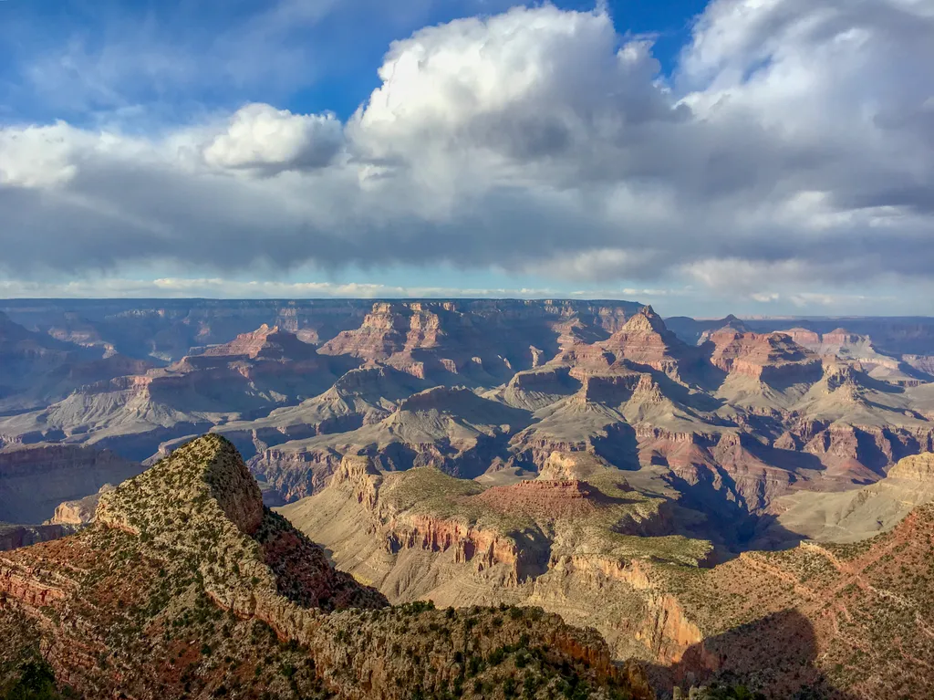
Grandview Point is one of the most popular South Rim viewpoints in the park. It is located along Desert View Drive (SR 64), halfway between Grand Canyon Village (10.2 miles/16.4 K) and Desert View (13.8 miles/22.2 K). The viewpoint offers breathtaking panoramic views of the ca…
Rim Trail
~1 min drive
26 mi · Hard
South Kaibab Trail
~1 min drive
6.5 mi · Hard
Zuni Trail
~3 min drive
0.3 mi · Easy
Residential Loop
~3 min drive
1.3 mi · Easy