Loading trail…

Free — you'll pick up right here.
Watch this trail
Sign up to watch it — saving subscribes you to gate, closure and report changes.
Colorado
12.2 mi
Distance
2,671 ft
Gain
We won't guess. Here is exactly what we do and don't know.
What we do know
Inside Arapaho and Roosevelt National Forests
3 managing-area boundaries mapped — agency alerts for them feed this page automatically.
Boundary data
What's missing
No access route mapped
We don't yet know which road reaches this trailhead, so we can't tell you if it's gated.
Nobody's filed a report here yet — be the first.
Why you'll love it
Baker Gulch
AI-suggested draft · review before you go
Baker Gulch is a 6.1-mile loop trail located in Colorado near the Aspen-Sopris Ranger District within White River National Forest. The route features significant elevation gain of 2,671 feet, making it a moderately strenuous hike suitable for those with solid fitness levels. The loop format allows hikers to experience varied terrain and scenery without retracing their steps. The substantial elevation gain is distributed throughout the route, providing a steady climb through forest and alpine environments typical of the White River National Forest area. This trail is maintained by the Aspen-Sopris Ranger District of White River National Forest. The maintained status and established loop design make it a reliable option for day hikers seeking a full-day outing with a solid cardiovascular challenge. Hikers should come prepared for mountain weather and bring adequate water and supplies for the full 6.1-mile distance. The elevation gain means the upper portions of the trail may provide views of surrounding peaks and valleys.
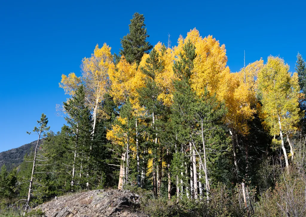
View Fall Colors on the West Side of Rocky Mountain National Park
~2 min drive
<p>Planning a trip to the west side of Rocky? This is a great time of year to view fall colors!<br /> <br /> September and October brings shorter days, cooler temperatures, bugling elk, and shifting colors. Explore the array of fall colors on the west side of Rocky Mountain Na…
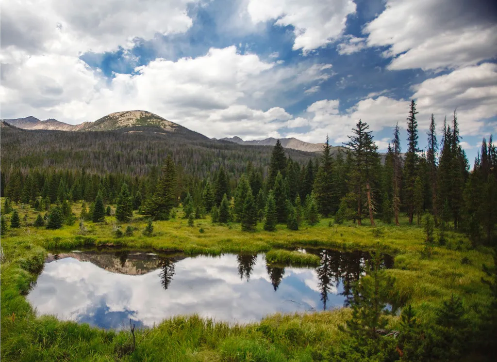
Beaver Ponds Picnic Area
~4 min drive
<p>Beaver Ponds Picnic Area is an excellent location to enjoy the peacefulness of the Kawnueeche Valley.</p> <p>This picnic area has tables overlooking two large ponds where visitors can enjoy the scenery while stopping to have a meal. Water sources like the ones found here pr…

Grand Ditch Trail
~4 min drive
30 mi · Easy
Timber Lake Trail
~5 min drive
5.8 mi · Moderate

Bowen Gul Og Interp Trl
~5 min drive
1.0 mi · Easy

Colorado River Trail
~7 min drive
3.7 mi · Easy
Scenic Route
~9 min drive
1.4 mi · Easy
Blue Ridge
~9 min drive
7.1 mi · Hard

Viewpoint
~10 min drive
1.8 mi · Easy

Tonahutu Creek Trail
~10 min drive
27 mi · Expert