Loading trail…

Free — you'll pick up right here.
Watch this trail
Sign up to watch it — saving subscribes you to gate, closure and report changes.
Colorado
5.8 mi
Distance
993 ft
Gain
We won't guess. Here is exactly what we do and don't know.
What we do know
Inside Rocky Mountain National Park
National Park unit boundary is mapped — agency alerts for it feed this page automatically.
Boundary data
Access via US 34: Milner Pass
Road status feeds from the state DOT 511 network.
State DOT 511 · 32 d ago
Nobody's filed a report here yet — be the first.
Why you'll love it
Timber Lake Trail
AI-suggested draft · review before you go
No permit or access details on file for this trail — check with the local land manager before you go.
Timber Lake Trail is a 2.9-mile out-and-back hike located in Colorado. The trail features 993 feet of elevation gain, making it a moderate climb suitable for hikers with basic fitness levels. This out-and-back route allows you to cover approximately 5.8 miles total when including the return journey. The steady elevation gain is distributed across the 2.9-mile distance, creating a consistent uphill push on the way in. The trail is managed by the local land management agency and traverses the rwn wilderness area. The route is well-suited for a half-day hiking adventure, offering solitude and natural scenery typical of Colorado's mountain terrain. Hikers should plan for the elevation gain when packing water and snacks. The out-and-back format means you'll retrace your steps on the return, which is easier given the downhill descent. This trail works well for those looking to gain elevation experience without committing to a full day's journey.
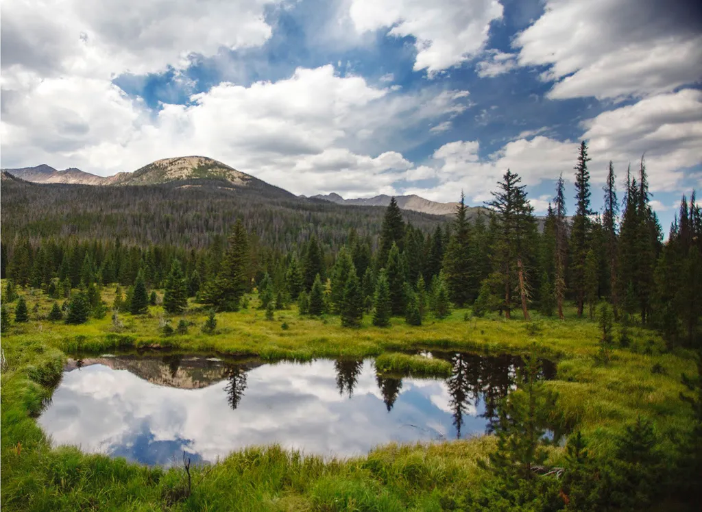
Beaver Ponds Picnic Area
~2 min drive
<p>Beaver Ponds Picnic Area is an excellent location to enjoy the peacefulness of the Kawnueeche Valley.</p> <p>This picnic area has tables overlooking two large ponds where visitors can enjoy the scenery while stopping to have a meal. Water sources like the ones found here pr…

Colorado River Trail
~3 min drive
3.7 mi · Easy
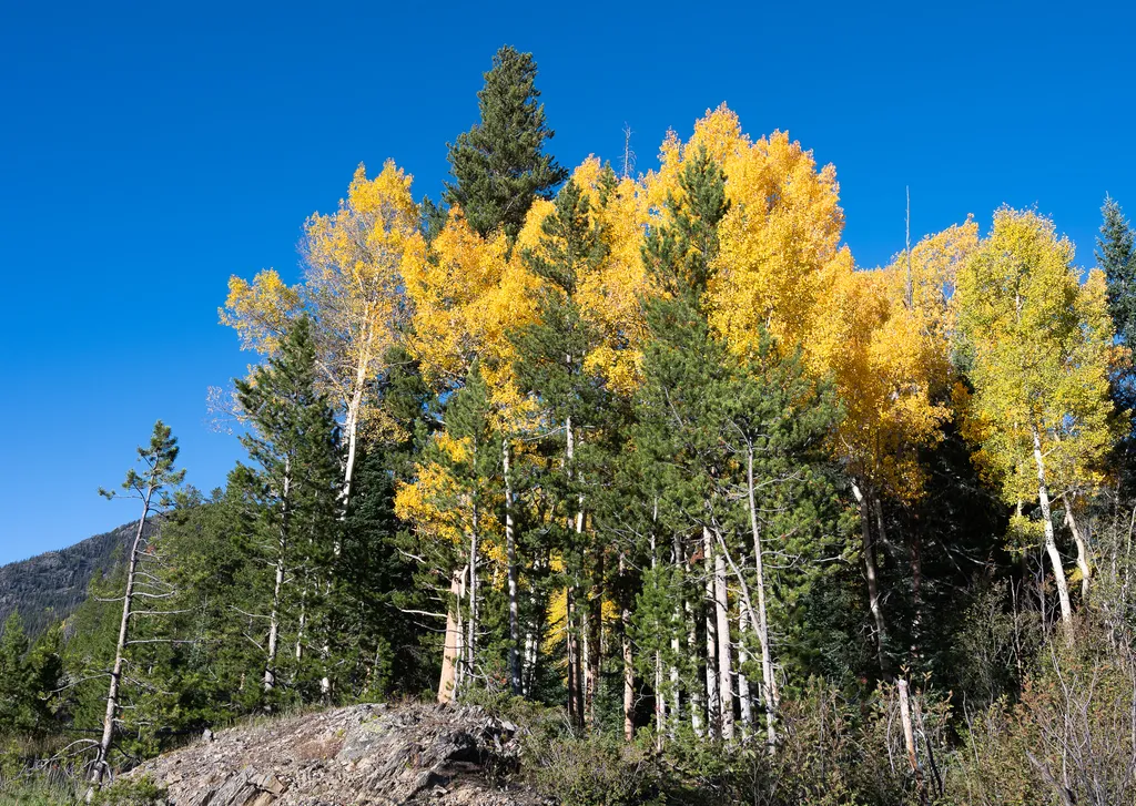
View Fall Colors on the West Side of Rocky Mountain National Park
~3 min drive
<p>Planning a trip to the west side of Rocky? This is a great time of year to view fall colors!<br /> <br /> September and October brings shorter days, cooler temperatures, bugling elk, and shifting colors. Explore the array of fall colors on the west side of Rocky Mountain Na…

Grand Ditch Trail
~7 min drive
30 mi · Easy

Ute Trail
~10 min drive
9.2 mi · Easy
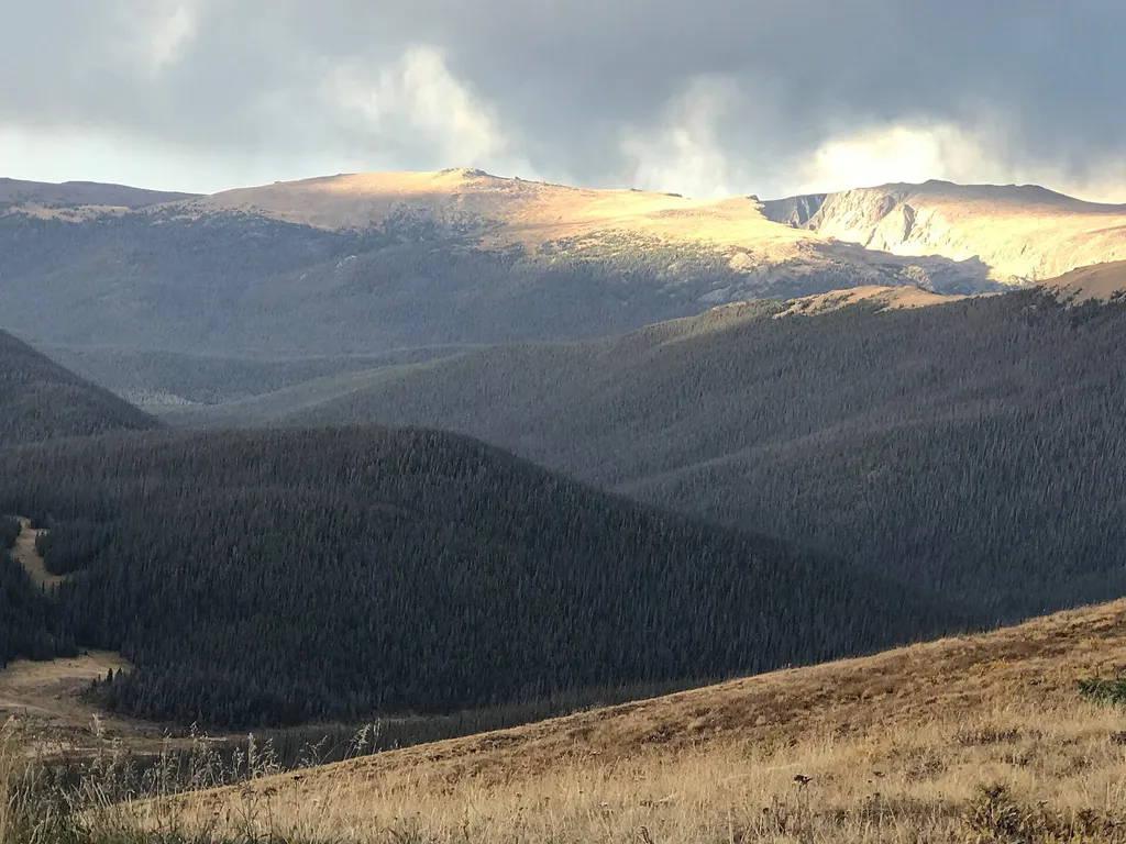
Medicine Bow Curve
~10 min drive
<p>Medicine Bow Curve provides a great location to view the northernmost areas of Rocky Mountain National Park.</p> <p>Looking to the horizon, visitors will see the Medicine Bow Mountains and the state of Wyoming. The Cache la Poudre river can clearly be seen flowing through t…

Thunder Pass
~10 min drive
1.1 mi · Easy

Bowen Gul Og Interp Trl
~11 min drive
1.0 mi · Easy

Tonahutu Creek Trail
~12 min drive
27 mi · Expert
Scenic Route
~14 min drive
1.4 mi · Easy