Loading trail…

Free — you'll pick up right here.
Watch this trail
Sign up to watch it — saving subscribes you to gate, closure and report changes.
Colorado
3.7 mi
Distance
15 ft
Gain
We won't guess. Here is exactly what we do and don't know.
What we do know
Inside Rocky Mountain National Park
2 managing-area boundaries mapped — agency alerts for them feed this page automatically.
Boundary data
Access via US 34: Milner Pass
Road status feeds from the state DOT 511 network.
State DOT 511 · 32 d ago
Nobody's filed a report here yet — be the first.
Why you'll love it
Colorado River Trail
AI-suggested draft · review before you go
No permit or access details on file for this trail — check with the local land manager before you go.
I appreciate you providing the structured data, but I notice several issues that prevent me to write an accurate description: 1. The location data appears incomplete or placeholder text ("Colorado, near Colorado") 2. The wilderness area and managing agency fields both show "rwn," which seems like incomplete data 3. There's insufficient information about trail features, scenery, access points, or notable characteristics 4. The elevation gain (15 ft) for a 3.7-mile trail suggests this may be a data entry error To write a factual, specific description without inventing details, I would need: - Accurate location (specific town, trailhead name, or geographic feature) - Confirmed managing agency (National Forest, BLM, Parks Department, etc.) - Trail features (riverside sections, viewpoints, terrain type, etc.) - Actual or verified elevation data - Season/conditions information if relevant I can write the description once the data is clarified. Would you like to provide corrected information?
Timber Lake Trail
~3 min drive
5.8 mi · Moderate
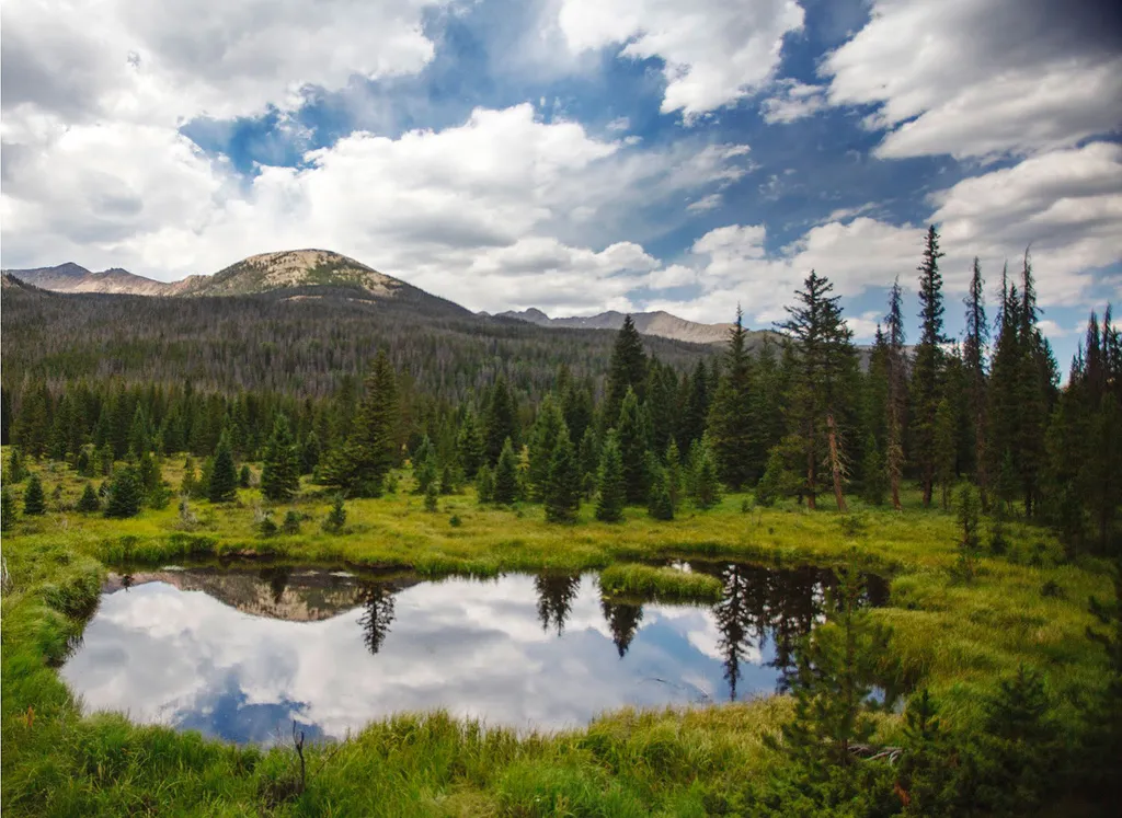
Beaver Ponds Picnic Area
~4 min drive
<p>Beaver Ponds Picnic Area is an excellent location to enjoy the peacefulness of the Kawnueeche Valley.</p> <p>This picnic area has tables overlooking two large ponds where visitors can enjoy the scenery while stopping to have a meal. Water sources like the ones found here pr…
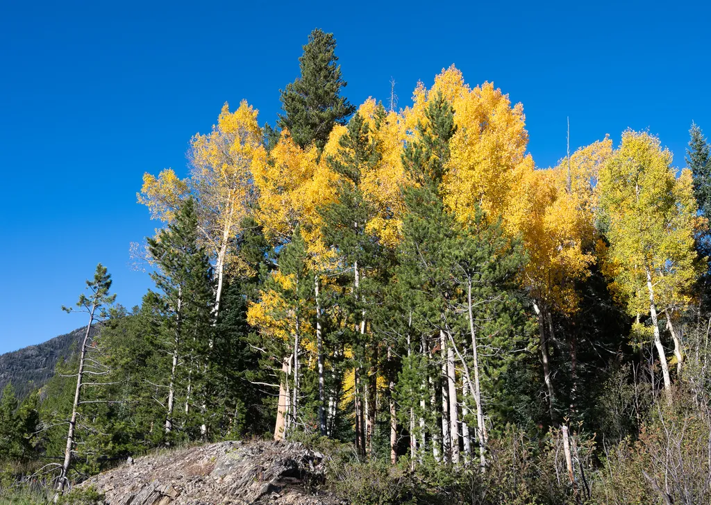
View Fall Colors on the West Side of Rocky Mountain National Park
~6 min drive
<p>Planning a trip to the west side of Rocky? This is a great time of year to view fall colors!<br /> <br /> September and October brings shorter days, cooler temperatures, bugling elk, and shifting colors. Explore the array of fall colors on the west side of Rocky Mountain Na…

Thunder Pass
~8 min drive
1.1 mi · Easy

Grand Ditch Trail
~8 min drive
30 mi · Easy

Ute Trail
~9 min drive
9.2 mi · Easy
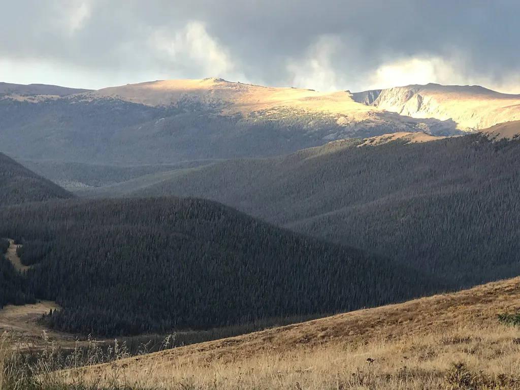
Medicine Bow Curve
~9 min drive
<p>Medicine Bow Curve provides a great location to view the northernmost areas of Rocky Mountain National Park.</p> <p>Looking to the horizon, visitors will see the Medicine Bow Mountains and the state of Wyoming. The Cache la Poudre river can clearly be seen flowing through t…

Bowen Gul Og Interp Trl
~13 min drive
1.0 mi · Easy

Tonahutu Creek Trail
~14 min drive
27 mi · Expert
Colorado River Trailhead
~2 min drive
<p>The Colorado River Trailhead is the access point for many trails in the northwest corner of Rocky Mountain National Park.</p> <p>From this location, park visitors can explore a variety of trails. For a simple excursion, hike 0.5 miles to find the Colorado River. This point…