Loading trail…

Free — you'll pick up right here.
Watch this trail
Sign up to watch it — saving subscribes you to gate, closure and report changes.
Colorado
8.0 mi
Distance
289 ft
Gain
We won't guess. Here is exactly what we do and don't know.
What we do know
Inside San Juan National Forest
2 managing-area boundaries mapped — agency alerts for them feed this page automatically.
Boundary data
What's missing
No access route mapped
We don't yet know which road reaches this trailhead, so we can't tell you if it's gated.
Nobody's filed a report here yet — be the first.
Why you'll love it
Beaver Lakes
AI-suggested draft · review before you go
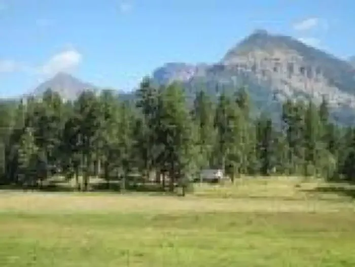
Beaver Lakes is an 8-mile out-and-back trail located in Colorado within Rio Grande National Forest, managed by the Saguache Ranger District. The route features modest elevation gain of 289 feet, making it accessible for hikers of varying experience levels. This trail offers a straightforward out-and-back format, allowing hikers to turn around at their preferred point or complete the full distance to reach the lakes. The gentle elevation profile combined with the full 8-mile distance makes this suitable for a half-day to full-day outing depending on pace and desired turnaround point. The trail provides access to the Beaver Lakes area within the Rio Grande National Forest, a region known for its scenic mountain terrain and outdoor recreation opportunities. Hikers should check with the Saguache Ranger District for current trail conditions, seasonal access information, and any specific regulations before planning their visit.

Quakie Spring
~9 min drive
2.0 mi · Easy

Brockover
~13 min drive
3.0 mi · Easy
Aspen Run
~13 min drive
4.6 mi · Easy
Gopher
~14 min drive
13 mi · Moderate
Lower Rim
~15 min drive
4.8 mi · Easy
Creek
~15 min drive
1.0 mi · Easy
Devil Mountain
~5 min drive
1.9 mi · Moderate
Dudley
~6 min drive
8.1 mi · Expert
Piedra Stock Dr
~6 min drive
16 mi · Expert
Baldy Mountain
~7 min drive
13 mi · Expert