Loading trail…

Free — you'll pick up right here.
Watch this trail
Sign up to watch it — saving subscribes you to gate, closure and report changes.
Colorado
8.1 mi
Distance
2,448 ft
Gain
We won't guess. Here is exactly what we do and don't know.
What we do know
Inside San Juan National Forest
2 managing-area boundaries mapped — agency alerts for them feed this page automatically.
Boundary data
What's missing
No access route mapped
We don't yet know which road reaches this trailhead, so we can't tell you if it's gated.
Nobody's filed a report here yet — be the first.
Why you'll love it
Dudley
AI-suggested draft · review before you go
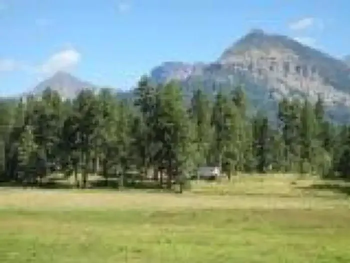
The Dudley Trail is an 8.1-mile out-and-back hike located in Colorado near the Rio Grande National Forest's Saguache Ranger District. This trail gains 2,448 feet of elevation, making it a moderately strenuous option for hikers seeking a full-day adventure. The out-and-back format allows hikers to turn around at any point, making the total distance flexible depending on fitness level and available time. The trail is managed by the Rio Grande National Forest, ensuring maintained conditions and adherence to forest service regulations. Hikers should prepare for significant elevation gain, particularly in the latter portions of the route. The trail's location in the Rio Grande National Forest provides access to the scenic landscapes characteristic of Colorado's high country. Proper conditioning and adequate water are recommended for this hike. Check with the Saguache Ranger District for current trail conditions before heading out.

Quakie Spring
~14 min drive
2.0 mi · Easy

North Ridge
~17 min drive
7.8 mi · Moderate
Little Sand
~17 min drive
21 mi · Hard

Brockover
~18 min drive
3.0 mi · Easy
Aspen Run
~19 min drive
4.6 mi · Easy
Gopher
~19 min drive
13 mi · Moderate
Baldy Mountain
~1 min drive
13 mi · Expert
Cold Water
~4 min drive
17 mi · Hard
Beaver Lakes
~6 min drive
8.0 mi · Moderate
Poison Ivy
~6 min drive
1.3 mi · Easy