Loading trail…

Free — you'll pick up right here.
Watch this trail
Sign up to watch it — saving subscribes you to gate, closure and report changes.
Colorado
11.6 mi
Distance
2,114 ft
Gain
We won't guess. Here is exactly what we do and don't know.
What we do know
Inside Pike and San Isabel National Forests
2 managing-area boundaries mapped — agency alerts for them feed this page automatically.
Boundary data
What's missing
No access route mapped
We don't yet know which road reaches this trailhead, so we can't tell you if it's gated.
Nobody's filed a report here yet — be the first.
Why you'll love it
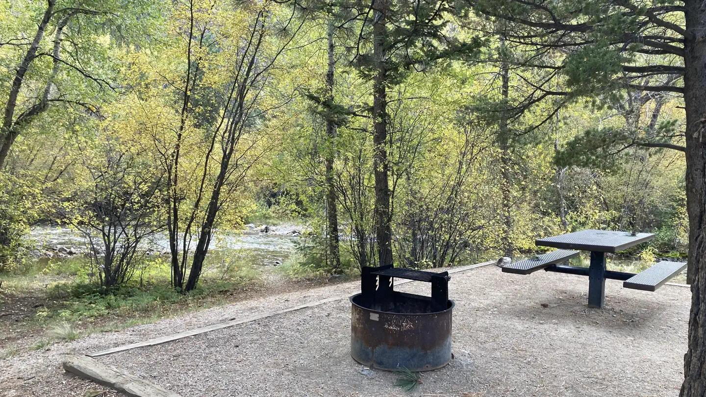
Browns Creek
AI-suggested draft · review before you go
Browns Creek is an 11.6-mile out-and-back trail located in Colorado near the San Juan National Forest, managed by the Columbine Ranger District (West). The route features 2,114 feet of elevation gain spread across the full distance. This trail offers hikers a substantial workout with moderate to challenging terrain. The out-and-back format allows flexibility for turnaround at any point, making it adaptable for various fitness levels. At full distance, hikers will gain approximately 1,057 feet per direction. The trail is situated within the San Juan National Forest, a 1.8-million-acre landscape in southwestern Colorado known for its diverse ecosystems and scenic mountain terrain. The Columbine Ranger District manages this area and maintains its trail system. Browns Creek is suitable for day hikers prepared for elevation gain and distance. Proper preparation, including adequate water, sun protection, and appropriate footwear, is recommended. Check current conditions with the Columbine Ranger District before heading out, as trail conditions can vary seasonally.

Colorado Trail Seg. 13 North Cottonwood Creek Road to Chalk Creek Trailhead
~7 min drive
46 mi · Expert
Cascade Creek Trail
~8 min drive
0.9 mi · Easy

Colorado Trail Seg. 14 Chalk Creek Trailhead to US-50
~16 min drive
40 mi · Expert

CDT in-xx Misc Old Route Alternates
~25 min drive
63 mi · Expert

Lost Lake
~28 min drive
3.5 mi · Easy

Three Elk
~28 min drive
6.2 mi · Hard

Midland Bike Trail
~28 min drive
39 mi · Expert
Bunny's Trail
~29 min drive
1.7 mi · Moderate

Columbine Trail
~30 min drive
3.5 mi · Moderate
Wagon Loop Trail
~1 min drive
3.7 mi · Moderate