Loading trail…

Free — you'll pick up right here.
Watch this trail
Sign up to watch it — saving subscribes you to gate, closure and report changes.
Colorado
4.2 mi
Distance
1,197 ft
Gain
We won't guess. Here is exactly what we do and don't know.
What we do know
Inside Grand Mesa, Uncompahgre and Gunnison National Forests
3 managing-area boundaries mapped — agency alerts for them feed this page automatically.
Boundary data
What's missing
No access route mapped
We don't yet know which road reaches this trailhead, so we can't tell you if it's gated.
Nobody's filed a report here yet — be the first.
Why you'll love it
Coxcomb
AI-suggested draft · review before you go
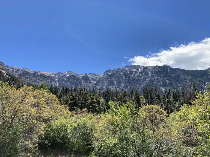
Coxcomb is a 2.6-mile out-and-back trail located in Colorado with 1,197 feet of elevation gain. The trail offers a moderate hiking experience with steady climbing throughout the route. Starting from the trailhead, hikers ascend through terrain managed by the local agency overseeing this wilderness area. The elevation gain is distributed across the relatively short distance, making this a fairly challenging hike despite its modest mileage. The out-and-back format allows hikers to turn around at the trail's end and retrace their steps back to the starting point. This trail is well-suited for hikers looking for a morning hike or those seeking a more intense workout on a shorter route. The combination of distance and elevation change makes Coxcomb an efficient option for building endurance while enjoying Colorado's mountainous landscape.

Upper East Fork
~3 min drive
1.0 mi · Easy

Wetterhorn Peak
~5 min drive
3.5 mi · Hard
Saddle
~5 min drive
5.0 mi · Easy
Ridge Stock Driveway
~7 min drive
17 mi · Expert

West Fork Sno
~8 min drive
5.4 mi · Easy

Difficulty Creek Trail
~10 min drive
7.7 mi · Moderate
Stealey Mountain North
~10 min drive
4.3 mi · Easy
Cutler Creek Trail
~10 min drive
7.6 mi · Easy
Porphyry Basin
~3 min drive
2.2 mi · Moderate
Wetterhorn Basin
~3 min drive
19 mi · Expert