Loading trail…

Free — you'll pick up right here.
Watch this trail
Sign up to watch it — saving subscribes you to gate, closure and report changes.
Colorado
7.7 mi
Distance
803 ft
Gain
We won't guess. Here is exactly what we do and don't know.
What we do know
Inside Grand Mesa, Uncompahgre and Gunnison National Forests
3 managing-area boundaries mapped — agency alerts for them feed this page automatically.
Boundary data
What's missing
No access route mapped
We don't yet know which road reaches this trailhead, so we can't tell you if it's gated.
Nobody's filed a report here yet — be the first.
Why you'll love it
Difficulty Creek Trail
AI-suggested draft · review before you go
No permit or access details on file for this trail — check with the local land manager before you go.
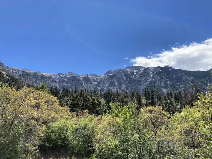
Difficulty Creek Trail is a 3.9-mile out-and-back hike located in Colorado with 803 feet of elevation gain. The trail offers a moderate hiking experience suitable for those looking to gain some elevation while enjoying a manageable distance. Starting from the trailhead, hikers will encounter steady climbing as they make their way along Difficulty Creek. The elevation gain is spread across the route, creating a consistent but not overly steep ascent. The out-and-back format allows hikers to turn around at any point, making it flexible for different fitness levels and time constraints. The trail is situated within wilderness area 214, managed by the corresponding agency responsible for trail maintenance and preservation. This area provides a backcountry experience while remaining relatively accessible. Best suited for hikers with some experience handling elevation gain, Difficulty Creek Trail makes for a solid half-day or full-day outing depending on pace and how far you choose to venture before returning. The combination of creek access and consistent climbing makes it an appealing option for those seeking moderate Colorado hiking without extreme technical difficulty.

Cutler Creek Trail
~1 min drive
7.6 mi · Easy

Portland Trail
~6 min drive
3.0 mi · Moderate

Oak Creek Trail
~7 min drive
6.5 mi · Expert
Corbett
~7 min drive
5.2 mi · Hard
Twin Peaks
~8 min drive
2.1 mi · Easy

Stealey Mountain North
~9 min drive
4.3 mi · Easy

Saddle
~10 min drive
5.0 mi · Easy
West Fork Sno
~11 min drive
5.4 mi · Easy
Cow Creek
~3 min drive
12 mi · Moderate
Dexter Creek Trail
~3 min drive
9.0 mi · Expert