Loading trail…

Free — you'll pick up right here.
Watch this trail
Sign up to watch it — saving subscribes you to gate, closure and report changes.
Colorado
5.4 mi
Distance
566 ft
Gain
We won't guess. Here is exactly what we do and don't know.
What we do know
Inside Grand Mesa, Uncompahgre and Gunnison National Forests
2 managing-area boundaries mapped — agency alerts for them feed this page automatically.
Boundary data
What's missing
No access route mapped
We don't yet know which road reaches this trailhead, so we can't tell you if it's gated.
Nobody's filed a report here yet — be the first.
Why you'll love it
West Fork Sno
AI-suggested draft · review before you go
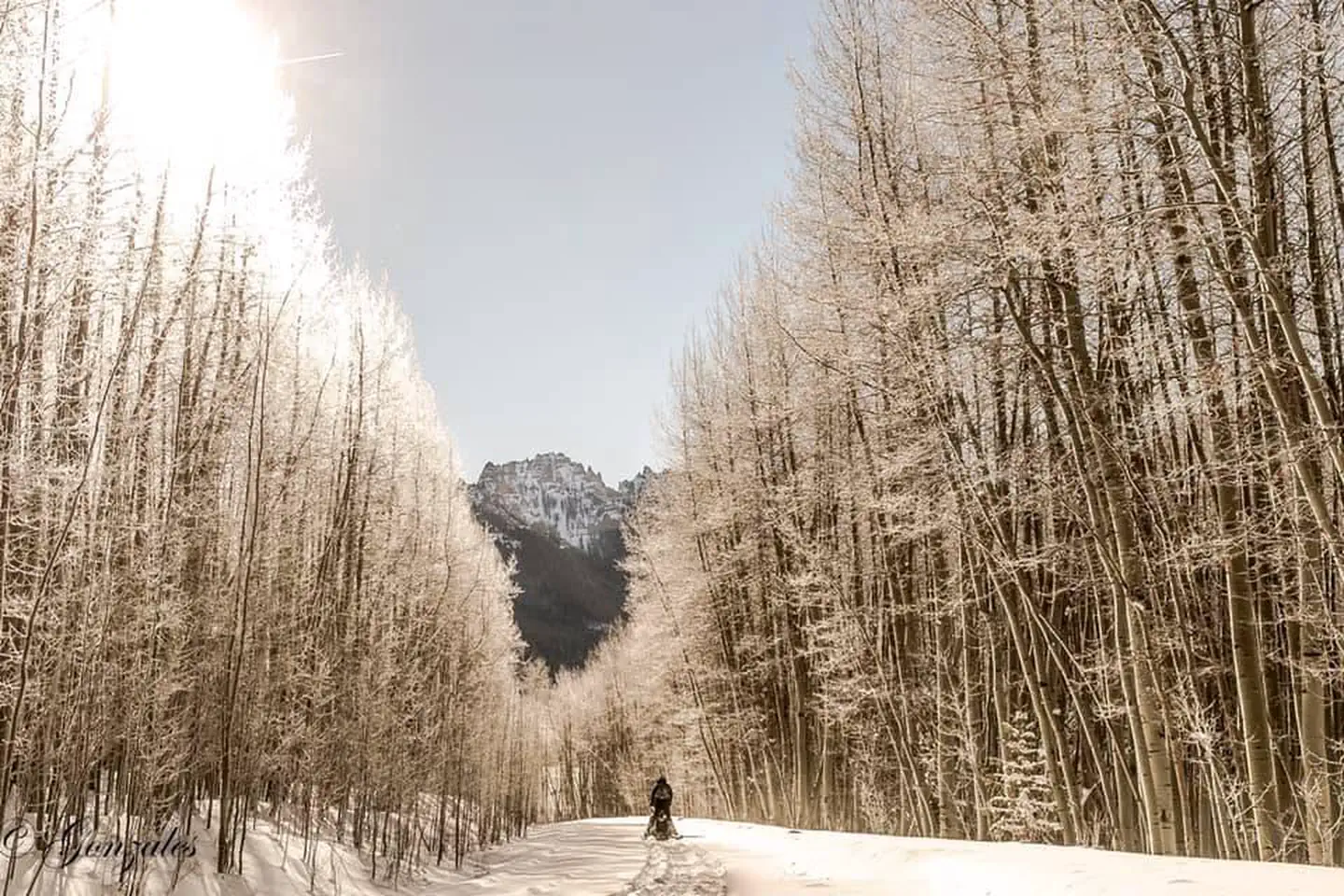
West Fork Sno is a 2.7-mile loop trail located in Colorado near the Routt National Forest's Yampa Ranger District. The route gains 566 feet in elevation throughout the hike, making it a moderate option for those seeking a shorter outing with modest climbing. The trail is maintained by the Routt National Forest - Yampa Ranger District, which oversees recreation management in this region of northwestern Colorado. The loop configuration allows hikers to complete the full circuit without retracing their steps, offering varied scenery from different vantage points along the route. West Fork Sno is accessible for a range of hiking abilities, with its modest distance and elevation gain suitable for families, casual hikers, and those looking for a half-day adventure. The trail's proximity to the Yampa Ranger District area makes it convenient for exploring the northern Colorado high country.

Stealey Mountain North
~3 min drive
4.3 mi · Easy

Silver Jack Shoreline
~9 min drive
1.2 mi · Easy
Jackson
~10 min drive
2.0 mi · Hard
Cowboy Lake
~10 min drive
1.4 mi · Easy

Cutler Creek Trail
~10 min drive
7.6 mi · Easy

Upper East Fork
~11 min drive
1.0 mi · Easy

Salt House
~11 min drive
3.4 mi · Easy
Difficulty Creek Trail
~11 min drive
7.7 mi · Moderate
Clear Lake
~11 min drive
1.6 mi · Easy
Owl Creek Pass Sno
~1 min drive
37 mi · Expert