Loading trail…

Free — you'll pick up right here.
Watch this trail
Sign up to watch it — saving subscribes you to gate, closure and report changes.
Colorado
1.8 mi
Distance
877 ft
Gain
We won't guess. Here is exactly what we do and don't know.
What we do know
Inside Arapaho and Roosevelt National Forests
2 managing-area boundaries mapped — agency alerts for them feed this page automatically.
Boundary data
What's missing
No access route mapped
We don't yet know which road reaches this trailhead, so we can't tell you if it's gated.
Nobody's filed a report here yet — be the first.
Why you'll love it
Indian
AI-suggested draft · review before you go
The Indian Trail is a 1.8-mile out-and-back hike located in Colorado near the town of Colorado. Managed by the White River National Forest's Eagle-Holy Cross Ranger District, this trail offers 877 feet of elevation gain, making it a moderately challenging day hike. The out-and-back format means you'll cover roughly 0.9 miles to the turnaround point before retracing your steps, allowing you to control your distance based on fitness level and time available. The sustained elevation gain provides a solid workout in a relatively compact distance, averaging around 970 feet per mile of climbing. This trail is maintained by the White River National Forest, part of the extensive public lands in central Colorado. The Eagle-Holy Cross Ranger District oversees recreation management in this region, ensuring trail maintenance and access for visitors. The area's natural setting provides typical Colorado mountain scenery with coniferous forests and alpine terrain. Indian Trail is well-suited for hikers seeking a quick but rewarding mountain workout without committing to a long distance, making it accessible for a morning or afternoon adventure in the White River National Forest.

North Fork
~2 min drive
8.9 mi · Moderate

Fox Creek
~6 min drive
5.2 mi · Easy
North Boundary
~8 min drive
4.9 mi · Hard
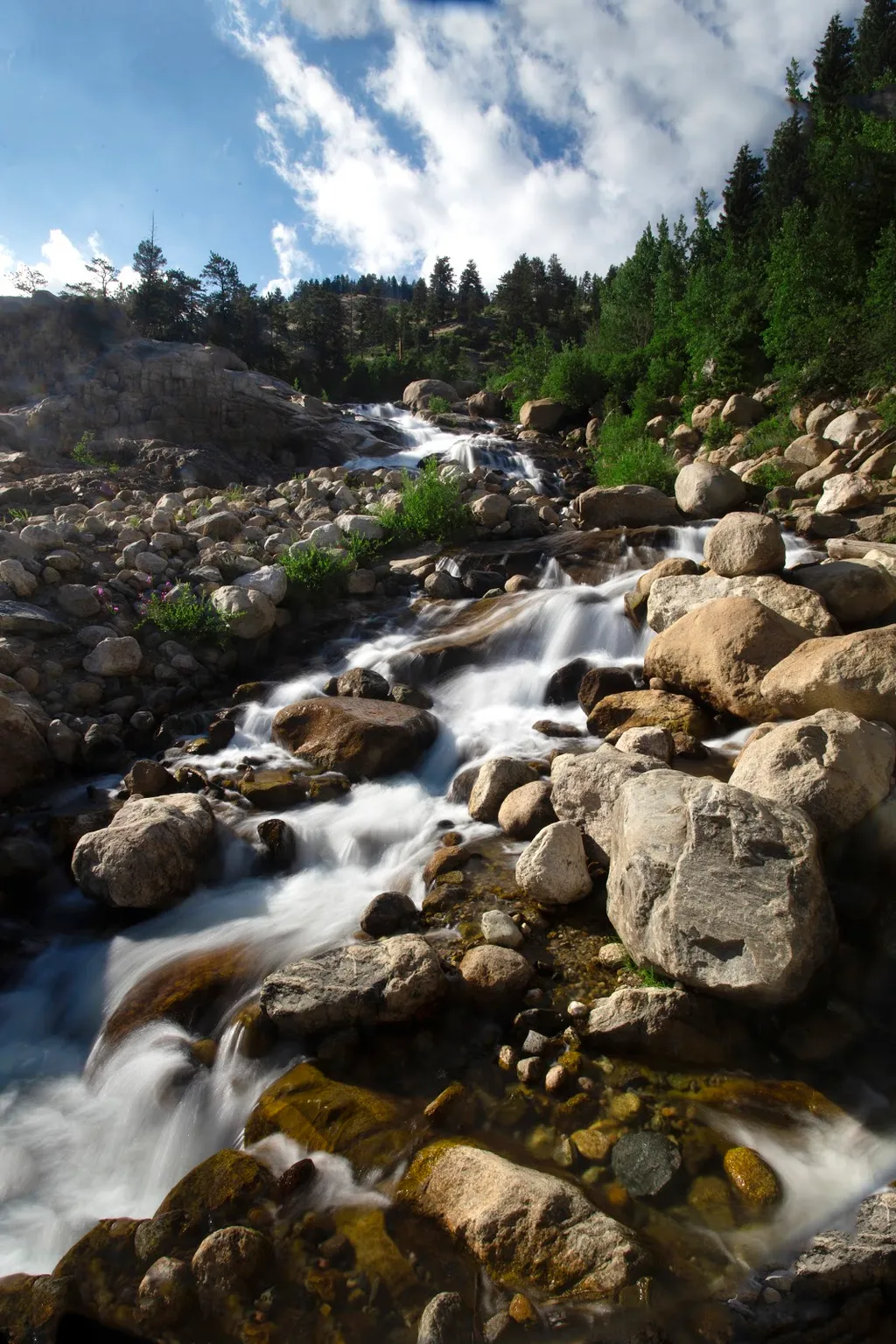
Alluvial Fan
~18 min drive
<p>Located off the road to Endovalley, the Alluvial Fan is a beautiful cascade of water flowing down through a boulder field.</p> <p>Reconstructed in 2020, the trail to the Alluvial Fan was designed to be fully accessible. From the west, this path meanders up to a 56-foot brid…
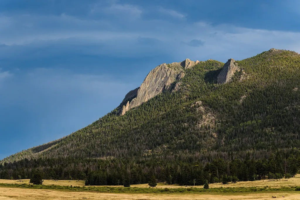
Horseshoe Park
~19 min drive
<p>Horseshoe Park is a low-land meadow with small lakes, great views of the Mummy Mountain Range, and top-notch wildlife viewing opportunities.</p> <p><strong>West Horseshoe Park Pullout:</strong> This pullout contains limited parking spaces that can be used to access the surr…
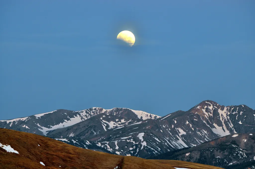
Stories of the Moon & Stars at Moraine Park Discovery Center
~19 min drive
<h3>Stories of the Moon & Stars</h3> <p>The moon and stars have inspired humans and their stories for thousands of years. Join us on the east side of Rocky Mountain National Park at the Moraine Park Discover Center Parking Area for an evening under the stars. This program begi…

Hourglass
~19 min drive
10 mi · Expert
Miller Fork
~2 min drive
6.3 mi · Moderate
Danner Pass
~3 min drive
6.8 mi · Easy
Bulwark Ridge
~4 min drive
10 mi · Expert