Loading trail…

Free — you'll pick up right here.
Watch this trail
Sign up to watch it — saving subscribes you to gate, closure and report changes.
Colorado
10.1 mi
Distance
2,524 ft
Gain
We won't guess. Here is exactly what we do and don't know.
What we do know
Inside Arapaho and Roosevelt National Forests
3 managing-area boundaries mapped — agency alerts for them feed this page automatically.
Boundary data
What's missing
No access route mapped
We don't yet know which road reaches this trailhead, so we can't tell you if it's gated.
Nobody's filed a report here yet — be the first.
Why you'll love it
Hourglass
AI-suggested draft · review before you go
The Hourglass Trail is a 10.1-mile out-and-back route located in Colorado near the town of Colorado. Managed by the White River National Forest's Eagle-Holy Cross Ranger District, this trail offers 2,524 feet of elevation gain over its course. The out-and-back format makes this trail accessible for hikers who want to customize their distance by turning around at any point. With over 2,500 feet of elevation gain, hikers should expect steady climbing throughout the route. The trail's length and elevation change make it suitable for intermediate to experienced hikers seeking a moderate to challenging day hike. The White River National Forest setting provides scenic mountain terrain characteristic of Colorado's high country. This trail is maintained by the Eagle-Holy Cross Ranger District, part of the broader White River National Forest management area known for its diverse outdoor recreation opportunities. Before heading out, check current trail conditions with the Eagle-Holy Cross Ranger District and ensure you're prepared for the elevation gain and distance. Bring adequate water and supplies for this full-day adventure.

Little Beaver Creek Trail
~9 min drive
14 mi · Hard
Little Beaver Creek Trail
~9 min drive
14 mi · Hard
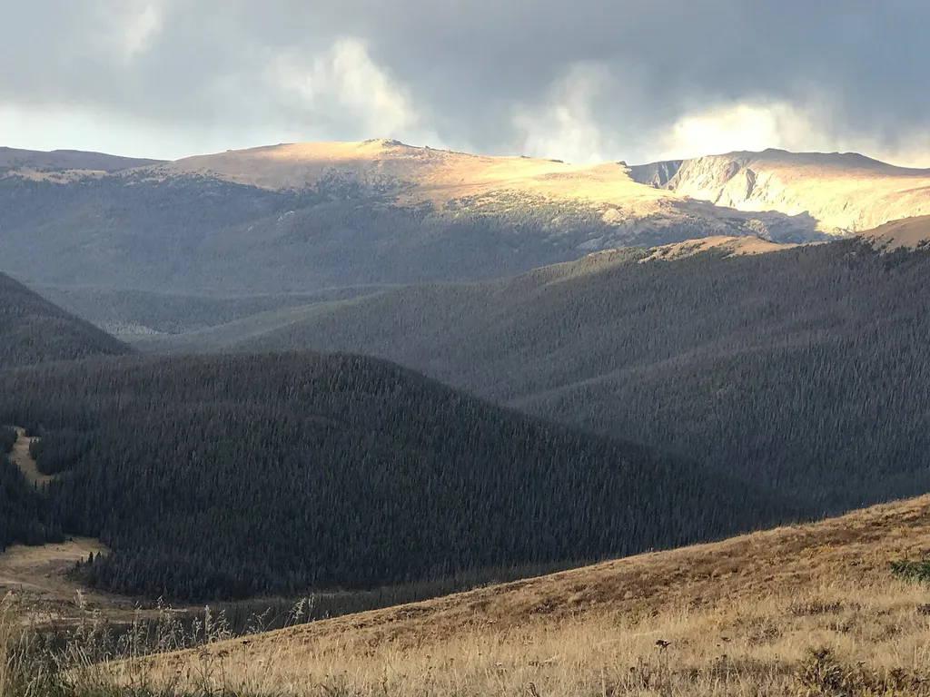
Medicine Bow Curve
~18 min drive
<p>Medicine Bow Curve provides a great location to view the northernmost areas of Rocky Mountain National Park.</p> <p>Looking to the horizon, visitors will see the Medicine Bow Mountains and the state of Wyoming. The Cache la Poudre river can clearly be seen flowing through t…

Meadow Snow
~18 min drive
7.9 mi · Moderate

Ute Trail
~19 min drive
9.2 mi · Easy

Blue Lake Trail
~19 min drive
2.2 mi · Moderate

North Fork
~19 min drive
8.9 mi · Moderate
Sawmill Snow
~19 min drive
6.2 mi · Hard
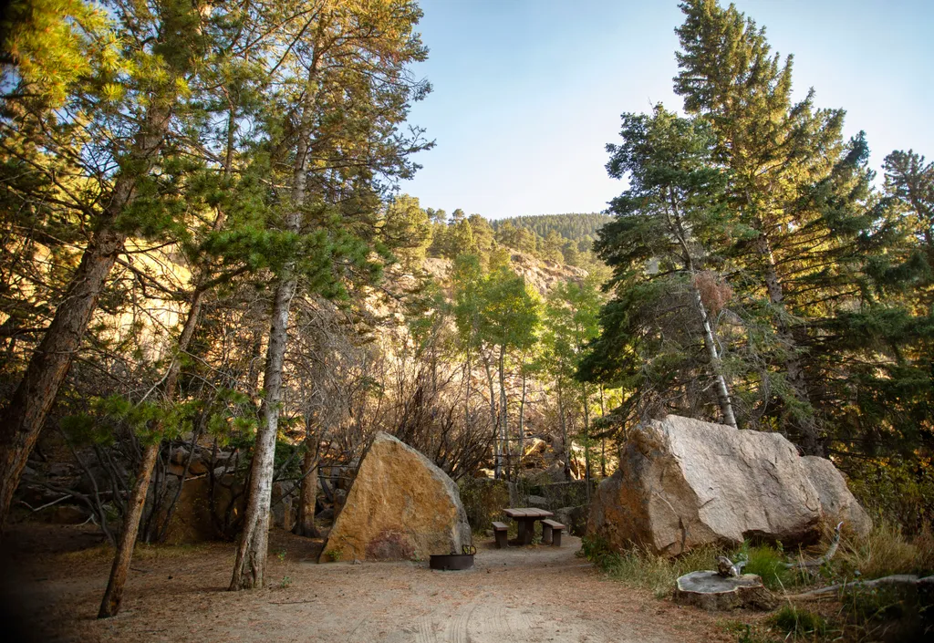
Endovalley Picnic Area
~19 min drive
<p>Stop at the Endovalley picnic area to enjoy a meal or quiet solitude.</p> <p>There are plenty of picnic tables in this loop that was once a campground. A river flows through the area so be on the lookout for birds, moose, and small critters.</p> <p><strong>Tables: </strong>…
Comanche Lake
~3 min drive
2.3 mi · Easy