Loading trail…

Free — you'll pick up right here.
Watch this trail
Sign up to watch it — saving subscribes you to gate, closure and report changes.
Colorado
4.5 mi
Distance
0 ft
Gain
We won't guess. Here is exactly what we do and don't know.
What we do know
Inside Grand Mesa, Uncompahgre and Gunnison National Forests
3 managing-area boundaries mapped — agency alerts for them feed this page automatically.
Boundary data
What's missing
No access route mapped
We don't yet know which road reaches this trailhead, so we can't tell you if it's gated.
Nobody's filed a report here yet — be the first.
Why you'll love it
Matterhorn
AI-suggested draft · review before you go
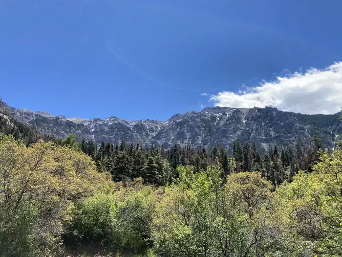
The Matterhorn Trail is a 4.5-mile out-and-back hike located in Colorado near the town of Colorado, managed by the Yampa Ranger District of Routt National Forest. This trail offers a relatively accessible hiking experience with no elevation gain, making it suitable for hikers of varying fitness levels who prefer a flatter terrain walk. The trail traverses through the natural landscapes characteristic of the Routt National Forest area in northwestern Colorado. As an out-and-back route, hikers will follow the same path for both the outbound and return journey, covering approximately 2.25 miles one way. The Yampa Ranger District manages this trail as part of the broader network of recreation opportunities within Routt National Forest. This area is known for its diverse ecosystems and scenic forestlands typical of the Rocky Mountain region. The lack of significant elevation gain makes this trail a good option for those looking for a moderate-distance walk without strenuous climbing. Visitors should check with the Yampa Ranger District for current trail conditions and any seasonal considerations before planning their visit.

Wetterhorn Peak
~1 min drive
3.5 mi · Hard

Upper East Fork
~2 min drive
1.0 mi · Easy
Ridge Stock Driveway
~3 min drive
17 mi · Expert
Saddle
~3 min drive
5.0 mi · Easy

West Fork Sno
~12 min drive
5.4 mi · Easy

Difficulty Creek Trail
~13 min drive
7.7 mi · Moderate
Cutler Creek Trail
~13 min drive
7.6 mi · Easy
Stealey Mountain North
~14 min drive
4.3 mi · Easy

Crystal Lake
~16 min drive
21 mi · Hard

Portland Trail
~16 min drive
3.0 mi · Moderate