Loading trail…

Free — you'll pick up right here.
Watch this trail
Sign up to watch it — saving subscribes you to gate, closure and report changes.
Colorado
37.0 mi
Distance
1,331 ft
Gain
We won't guess. Here is exactly what we do and don't know.
What we do know
Inside Grand Mesa, Uncompahgre and Gunnison National Forests
2 managing-area boundaries mapped — agency alerts for them feed this page automatically.
Boundary data
What's missing
No access route mapped
We don't yet know which road reaches this trailhead, so we can't tell you if it's gated.
Nobody's filed a report here yet — be the first.
Why you'll love it
Owl Creek Pass Sno
AI-suggested draft · review before you go
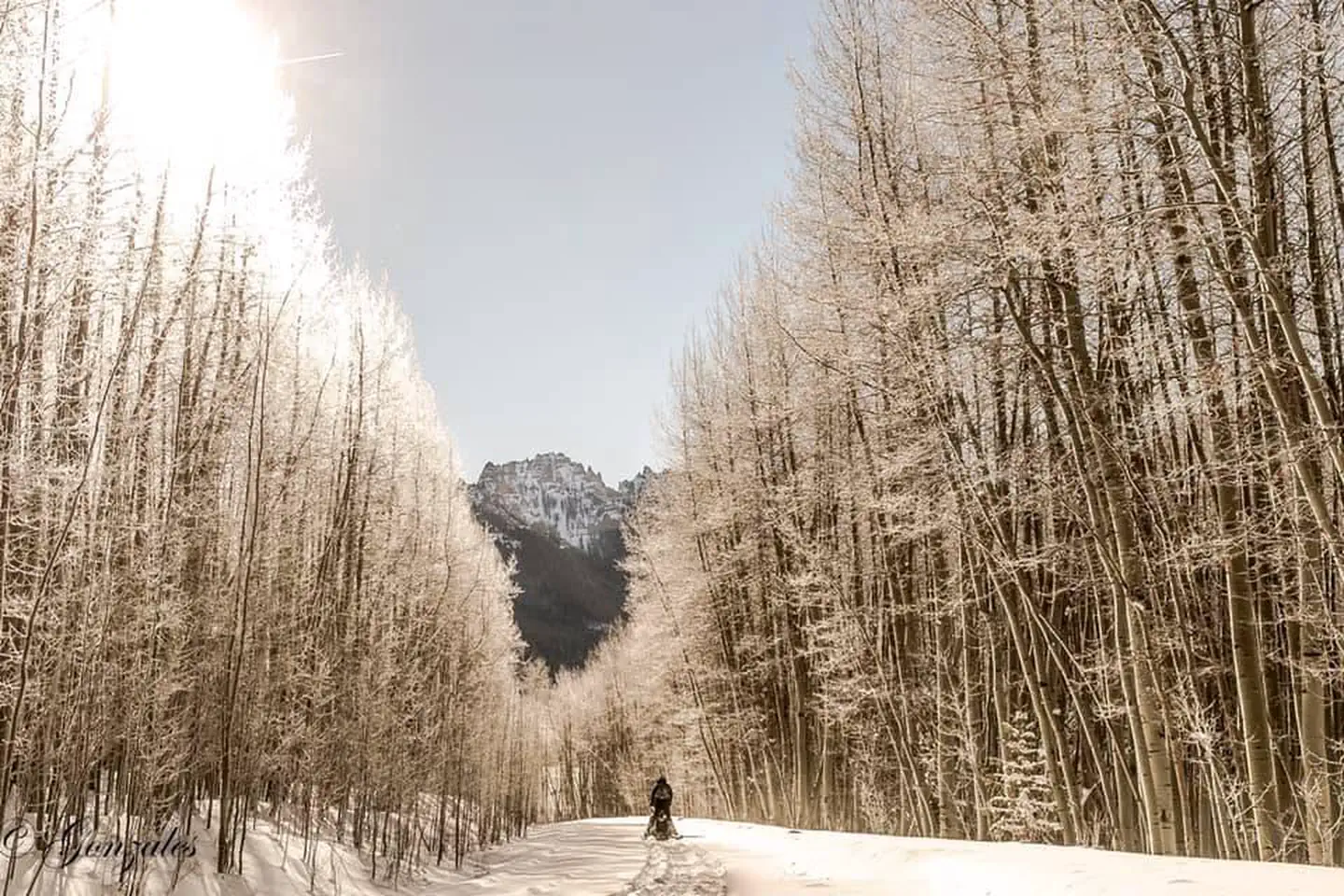
Owl Creek Pass Sno is a 36.6-mile out-and-back trail located in Colorado near the Routt National Forest's Yampa Ranger District. The route features 1,331 feet of elevation gain, making it a moderately challenging backcountry experience suitable for hikers with solid endurance. This trail traverses terrain managed by the U.S. Forest Service, offering access to high-country landscapes characteristic of northern Colorado's mountain terrain. The out-and-back format allows hikers to turn around at any point based on fitness level and time constraints, with the full distance extending to Owl Creek Pass. The relatively modest elevation gain spread across the full distance indicates a steady, gradual climb rather than steep pitches. Conditions vary seasonally, so check current trail status with Routt National Forest before planning your visit. This trail is best suited for experienced hikers comfortable with longer distances and variable mountain terrain. Bring adequate water, sun protection, and navigation tools.

West Fork Sno
~1 min drive
5.4 mi · Easy
Stealey Mountain North
~3 min drive
4.3 mi · Easy

Silver Jack Shoreline
~8 min drive
1.2 mi · Easy
Jackson
~9 min drive
2.0 mi · Hard
Cowboy Lake
~9 min drive
1.4 mi · Easy

Salt House
~10 min drive
3.4 mi · Easy
Clear Lake
~10 min drive
1.6 mi · Easy

Cutler Creek Trail
~11 min drive
7.6 mi · Easy

Upper East Fork
~12 min drive
1.0 mi · Easy
Difficulty Creek Trail
~12 min drive
7.7 mi · Moderate