Loading trail…

Free — you'll pick up right here.
Watch this trail
Sign up to watch it — saving subscribes you to gate, closure and report changes.
Colorado
16.0 mi
Distance
3,380 ft
Gain
No agency boundary, access route or field report is mapped to it — so there is no verdict, and we won't guess. We'll tell you the moment this trail has something to say.
Nobody's filed a report here yet — be the first.
Why you'll love it
Rito Alto
AI-suggested draft · review before you go
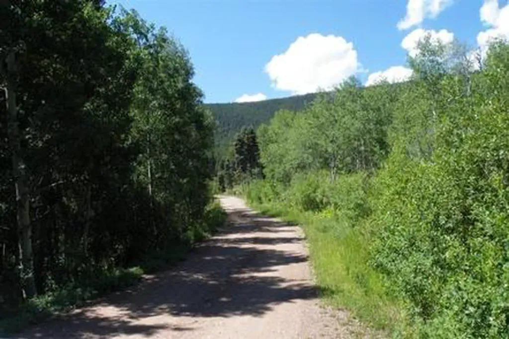
Rito Alto is a 16.2-mile out-and-back trail located in Colorado near the Ouray Ranger District within the Grand Mesa, Uncompahgre and Gunnison National Forest. The route features 3,380 feet of elevation gain, making it a moderately strenuous hike suited for experienced hikers. This out-and-back format allows hikers to turn around at any point, providing flexibility for those who want to customize their distance. The trail's significant elevation gain is distributed across the journey, offering steady climbing through the forest landscape typical of this region of the GMUG National Forest. The Ouray Ranger District manages the trail, ensuring maintenance and access. Hikers should be prepared for high elevation terrain and variable mountain weather conditions. The trail's length and elevation gain make it ideal for a full-day adventure. Before heading out, check current conditions with the Ouray Ranger District and ensure you have adequate water, supplies, and navigation tools for this remote backcountry experience.

Comanche
~11 min drive
8.8 mi · Expert

Hot Springs
~13 min drive
2.4 mi · Moderate
Wild Cherry
~3 min drive
11 mi · Moderate
Elaine
~4 min drive
3.4 mi · Hard
San Isabel
~7 min drive
10 mi · Moderate
Cotton
~8 min drive
26 mi · Hard
San Isabel Lake
~9 min drive
1.6 mi · Easy
Horsethief Basin
~10 min drive
9.3 mi · Expert
North Crestone
~10 min drive
12 mi · Expert
North Fork Crestone
~11 min drive
17 mi · Expert