Loading trail…

Free — you'll pick up right here.
Watch this trail
Sign up to watch it — saving subscribes you to gate, closure and report changes.
Colorado
10.5 mi
Distance
560 ft
Gain
We won't guess. Here is exactly what we do and don't know.
What we do know
Inside Arapaho and Roosevelt National Forests
3 managing-area boundaries mapped — agency alerts for them feed this page automatically.
Boundary data
What's missing
No access route mapped
We don't yet know which road reaches this trailhead, so we can't tell you if it's gated.
Nobody's filed a report here yet — be the first.
Why you'll love it
Emmaline Lake Trail
AI-suggested draft · review before you go
No permit or access details on file for this trail — check with the local land manager before you go.
The Emmaline Lake Trail is a 5.2-mile out-and-back hike located in Colorado. This moderately graded trail gains 560 feet of elevation over the course of the route, making it accessible to hikers with basic fitness levels. The trail traverses federal wilderness, managed by a federal agency, ensuring protection of the natural landscape and minimal development along the way. The out-and-back format means you'll retrace your steps on the return journey, giving you flexibility to turn back at any point if needed. The destination at Emmaline Lake offers a rewarding endpoint for the steady climb. The elevation gain is distributed fairly evenly throughout the hike, avoiding steep pitches while still providing a notable workout. This trail is ideal for day hikers seeking a half-day adventure with moderate challenge. The federal management status indicates the area maintains wilderness character with limited infrastructure. Weather and seasonal conditions can affect trail conditions, so check current reports before heading out. The relatively short distance and moderate elevation make this a good option for hikers looking to experience Colorado's high country without committing to a longer expedition.

Hourglass
~4 min drive
10 mi · Expert

Little Beaver Creek Trail
~13 min drive
14 mi · Hard
Little Beaver Creek Trail
~13 min drive
14 mi · Hard
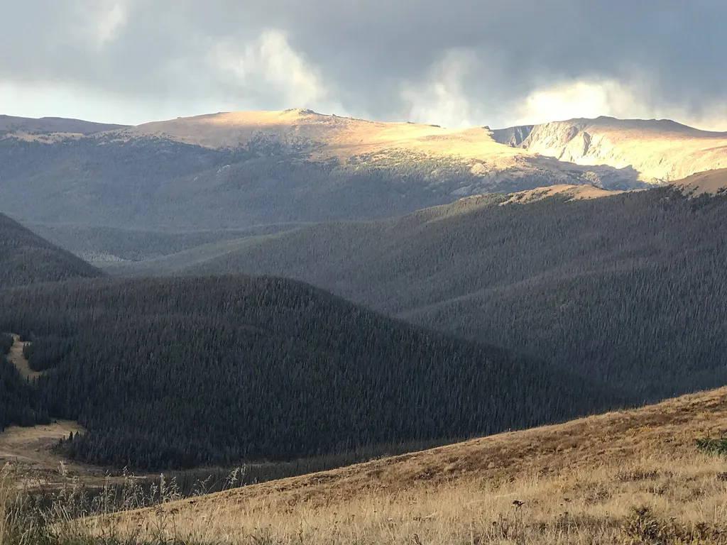
Medicine Bow Curve
~14 min drive
<p>Medicine Bow Curve provides a great location to view the northernmost areas of Rocky Mountain National Park.</p> <p>Looking to the horizon, visitors will see the Medicine Bow Mountains and the state of Wyoming. The Cache la Poudre river can clearly be seen flowing through t…

Ute Trail
~15 min drive
9.2 mi · Easy
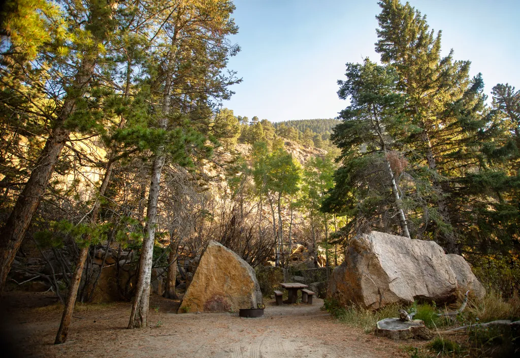
Endovalley Picnic Area
~15 min drive
<p>Stop at the Endovalley picnic area to enjoy a meal or quiet solitude.</p> <p>There are plenty of picnic tables in this loop that was once a campground. A river flows through the area so be on the lookout for birds, moose, and small critters.</p> <p><strong>Tables: </strong>…
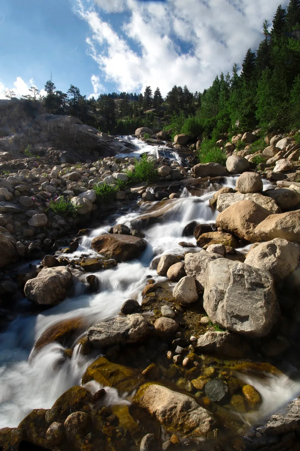
Alluvial Fan
~16 min drive
<p>Located off the road to Endovalley, the Alluvial Fan is a beautiful cascade of water flowing down through a boulder field.</p> <p>Reconstructed in 2020, the trail to the Alluvial Fan was designed to be fully accessible. From the west, this path meanders up to a 56-foot brid…
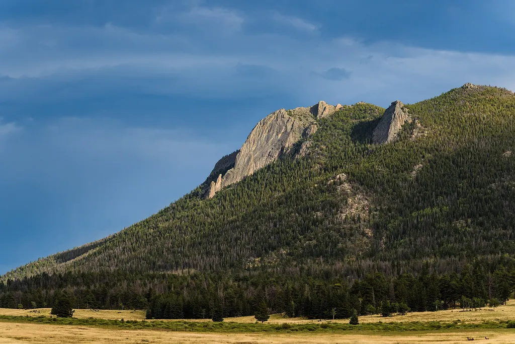
Horseshoe Park
~17 min drive
<p>Horseshoe Park is a low-land meadow with small lakes, great views of the Mummy Mountain Range, and top-notch wildlife viewing opportunities.</p> <p><strong>West Horseshoe Park Pullout:</strong> This pullout contains limited parking spaces that can be used to access the surr…

Meadow Snow
~17 min drive
7.9 mi · Moderate
Mummy Pass
~3 min drive
7.1 mi · Hard