Loading trail…

Free — you'll pick up right here.
Watch this trail
Sign up to watch it — saving subscribes you to gate, closure and report changes.
Colorado
9.2 mi
Distance
117 ft
Gain
We won't guess. Here is exactly what we do and don't know.
What we do know
Inside Rocky Mountain National Park
National Park unit boundary is mapped — agency alerts for it feed this page automatically.
Boundary data
What's missing
No access route mapped
We don't yet know which road reaches this trailhead, so we can't tell you if it's gated.
Nobody's filed a report here yet — be the first.
Why you'll love it
Ute Trail
AI-suggested draft · review before you go
No permit or access details on file for this trail — check with the local land manager before you go.
The Ute Trail is a 4.6-mile out-and-back hike located in Colorado. This trail features minimal elevation gain of 117 feet, making it accessible for hikers of various skill levels. The relatively flat terrain means you can focus on enjoying the scenery without strenuous climbing. As an out-and-back route, you'll retrace your path on the return journey, allowing you to explore the same landscape from a different perspective. The total round-trip distance is approximately 9.2 miles if you complete the full route. The trail is managed by lwn and traverses through the lwn wilderness area. This designation typically indicates protected or managed public land with specific regulations and conservation purposes. The Ute Trail offers a moderate-length hiking option suitable for a half or full day outing. Its gentle grades and manageable distance make it a good choice for families, casual hikers, or those looking for a less strenuous Colorado hiking experience.
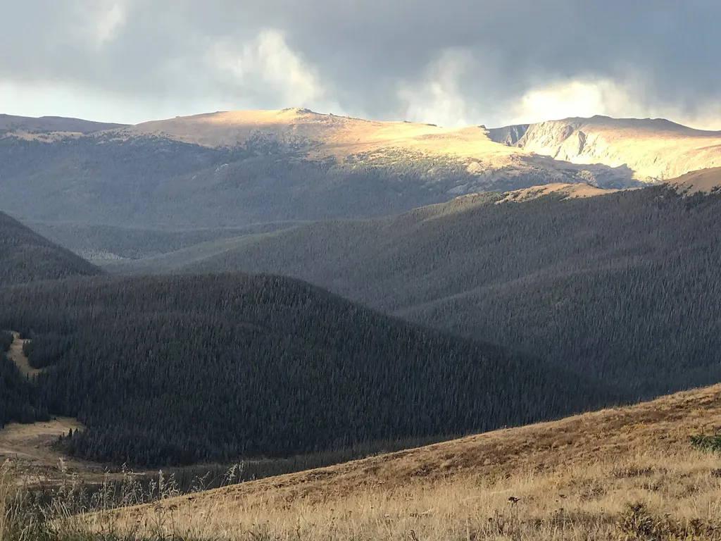
Medicine Bow Curve
~1 min drive
<p>Medicine Bow Curve provides a great location to view the northernmost areas of Rocky Mountain National Park.</p> <p>Looking to the horizon, visitors will see the Medicine Bow Mountains and the state of Wyoming. The Cache la Poudre river can clearly be seen flowing through t…

Colorado River Trail
~9 min drive
3.7 mi · Easy
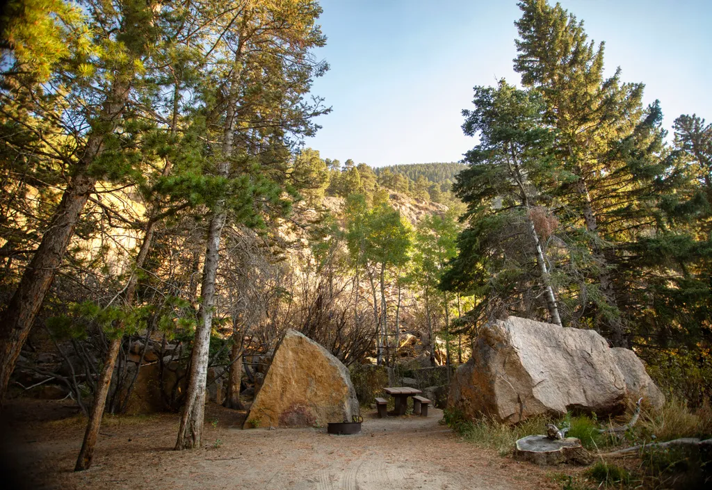
Endovalley Picnic Area
~9 min drive
<p>Stop at the Endovalley picnic area to enjoy a meal or quiet solitude.</p> <p>There are plenty of picnic tables in this loop that was once a campground. A river flows through the area so be on the lookout for birds, moose, and small critters.</p> <p><strong>Tables: </strong>…
Timber Lake Trail
~10 min drive
5.8 mi · Moderate
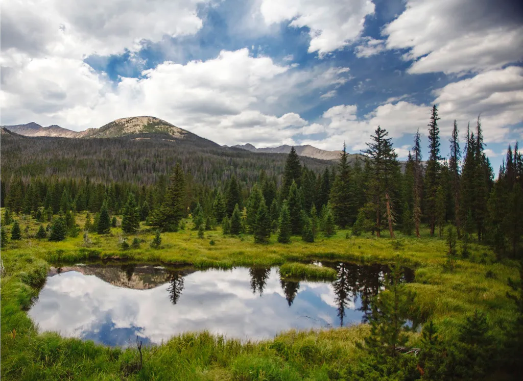
Beaver Ponds Picnic Area
~11 min drive
<p>Beaver Ponds Picnic Area is an excellent location to enjoy the peacefulness of the Kawnueeche Valley.</p> <p>This picnic area has tables overlooking two large ponds where visitors can enjoy the scenery while stopping to have a meal. Water sources like the ones found here pr…
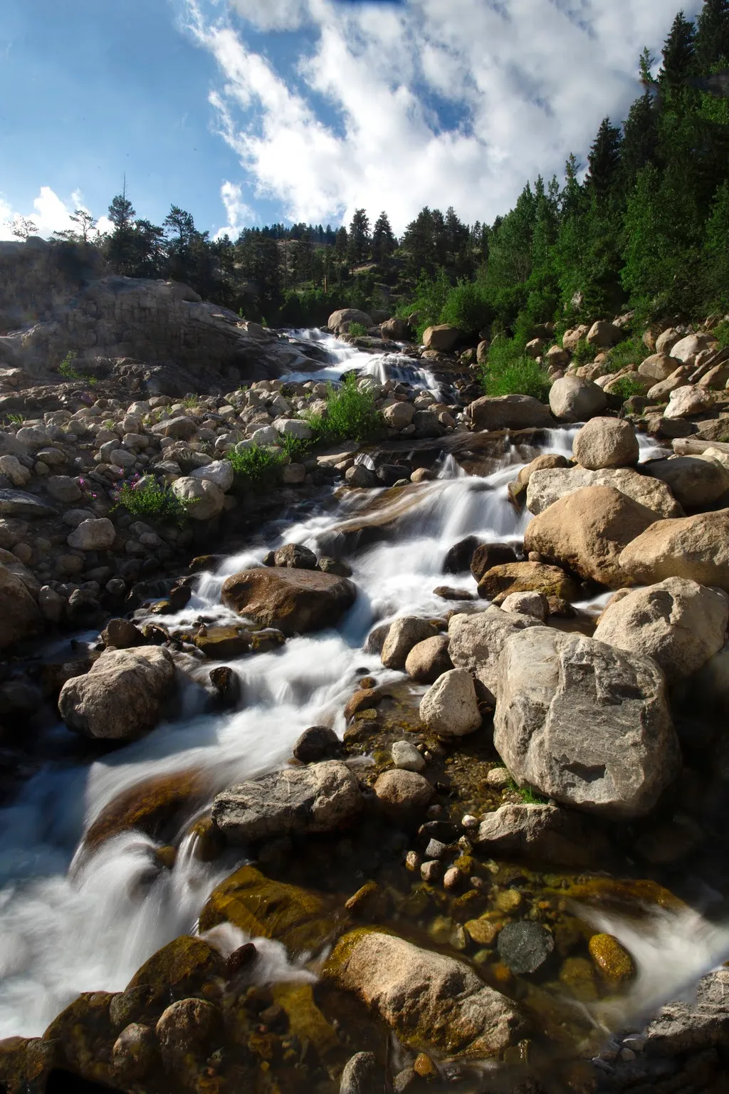
Alluvial Fan
~12 min drive
<p>Located off the road to Endovalley, the Alluvial Fan is a beautiful cascade of water flowing down through a boulder field.</p> <p>Reconstructed in 2020, the trail to the Alluvial Fan was designed to be fully accessible. From the west, this path meanders up to a 56-foot brid…
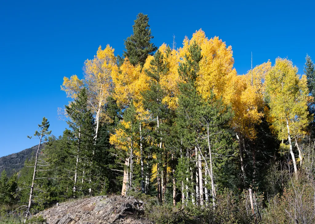
View Fall Colors on the West Side of Rocky Mountain National Park
~12 min drive
<p>Planning a trip to the west side of Rocky? This is a great time of year to view fall colors!<br /> <br /> September and October brings shorter days, cooler temperatures, bugling elk, and shifting colors. Explore the array of fall colors on the west side of Rocky Mountain Na…

Thunder Pass
~12 min drive
1.1 mi · Easy
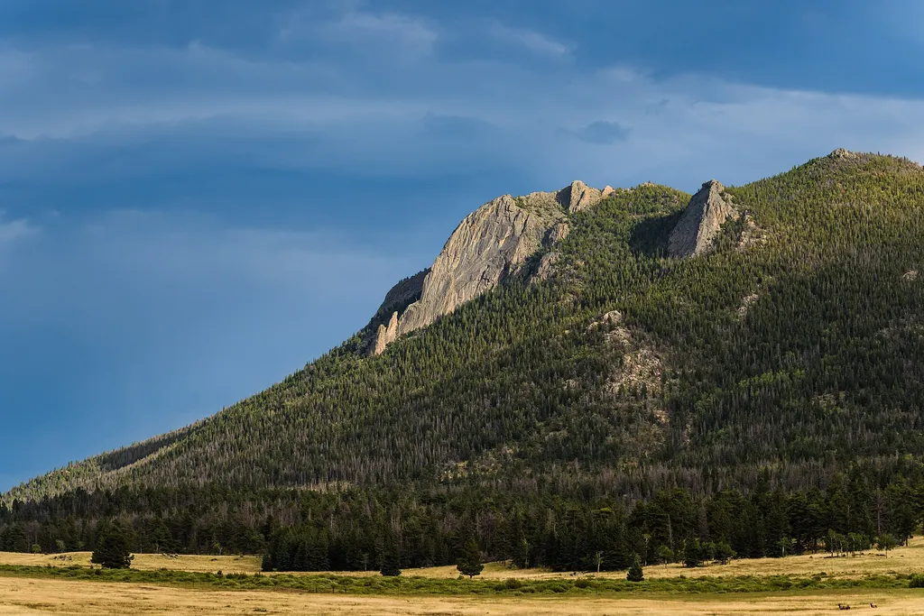
Horseshoe Park
~13 min drive
<p>Horseshoe Park is a low-land meadow with small lakes, great views of the Mummy Mountain Range, and top-notch wildlife viewing opportunities.</p> <p><strong>West Horseshoe Park Pullout:</strong> This pullout contains limited parking spaces that can be used to access the surr…

Tonahutu Creek Trail
~14 min drive
27 mi · Expert