Loading trail…

Medicine Bow Curve
Free — you'll pick up right here.
Watch this trail
Sign up to watch it — saving subscribes you to gate, closure and report changes.
Colorado
We won't guess. Here is exactly what we do and don't know.
What we do know
Inside Rocky Mountain National Park
National Park unit boundary is mapped — agency alerts for it feed this page automatically.
Boundary data
What's missing
No access route mapped
We don't yet know which road reaches this trailhead, so we can't tell you if it's gated.
Nobody's filed a report here yet — be the first.
Medicine Bow Curve
AI-suggested draft · review before you go
No elevation data on file for this trail.
Medicine Bow Curve provides a great location to view the northernmost areas of Rocky Mountain National Park. Looking to the horizon, visitors will see the Medicine Bow Mountains and the state of Wyoming. The Cache la Poudre river can clearly be seen flowing through the valley beneath the lookout area. From this viewing area, visitors can see two tree lines. The uppermost tree line separates the sub-alpine ecosystem from the Alpine Tundra ecosystem. The lower tree line, seen near the bottom of the valley, highlights the valley floor which is too wet for trees to grow. It is also common to see Rocky Mountain Elk and small alpine animals like Ptarmigan and Marmot in this area. But please keep your distance and help keep wildlife wild. Never approach or feed wildlife. Animals that learn people are a source of food can become aggressive or stop hunting or foraging on their own. Note: Extreme weather can change the status of Trail Ridge Road at any time—be ready to adjust your travel plans if needed, and always check the weather before you start your drive. Altitude Warning: Altitude sickness affects many visitors every year. Symptoms include headache, nausea, fatigue, dizziness, vomiting, and even unconsciousness. Altitude can also aggravate pre-existing conditions like heart and lung disease. Take your time, drink water, eat, and rest. The only cure for altitude sickness is to go down to a lower altitude.

Ute Trail
~1 min drive
9.2 mi · Easy

Colorado River Trail
~9 min drive
3.7 mi · Easy
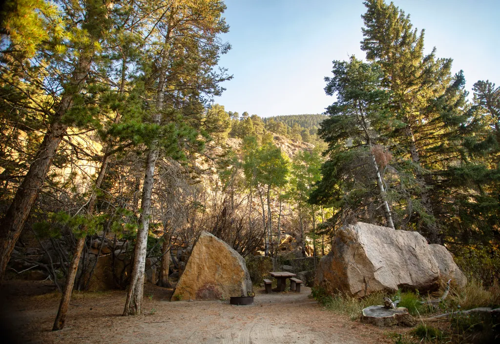
Endovalley Picnic Area
~10 min drive
<p>Stop at the Endovalley picnic area to enjoy a meal or quiet solitude.</p> <p>There are plenty of picnic tables in this loop that was once a campground. A river flows through the area so be on the lookout for birds, moose, and small critters.</p> <p><strong>Tables: </strong>…
Timber Lake Trail
~10 min drive
5.8 mi · Moderate
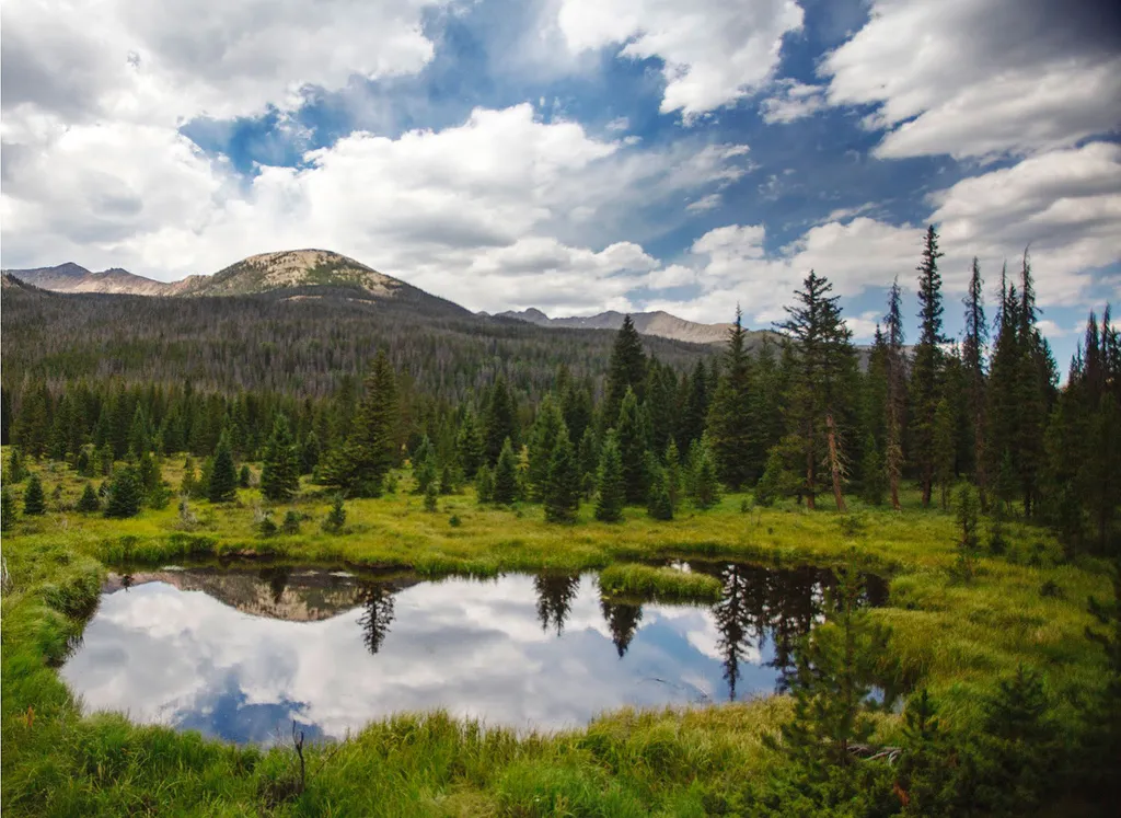
Beaver Ponds Picnic Area
~11 min drive
<p>Beaver Ponds Picnic Area is an excellent location to enjoy the peacefulness of the Kawnueeche Valley.</p> <p>This picnic area has tables overlooking two large ponds where visitors can enjoy the scenery while stopping to have a meal. Water sources like the ones found here pr…
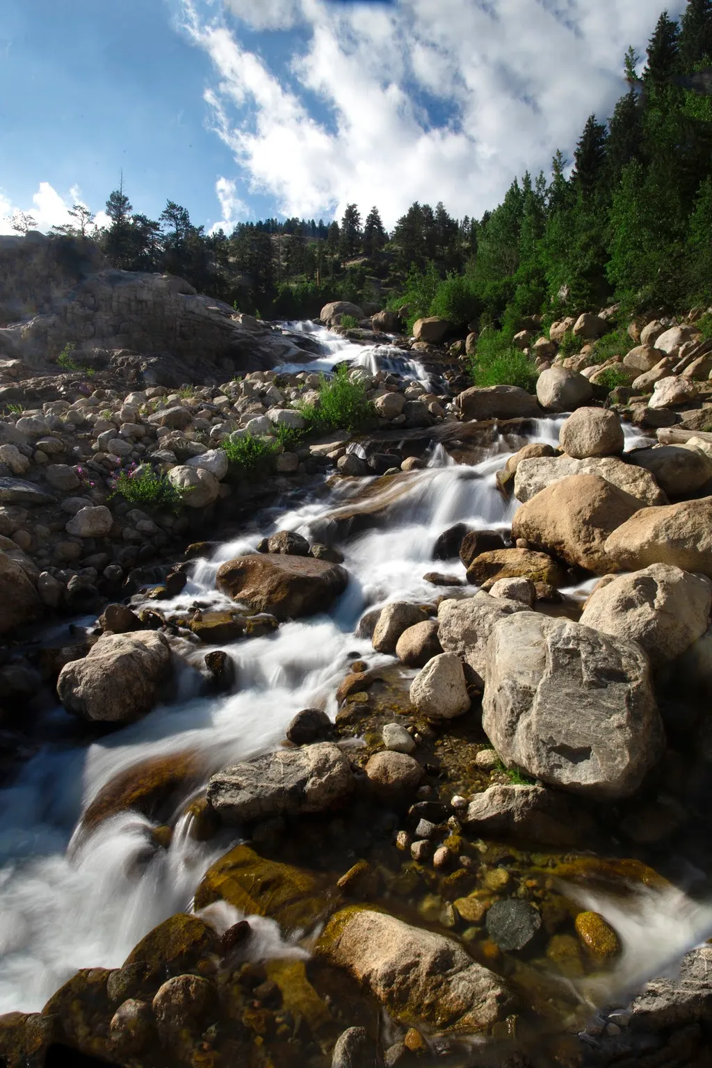
Alluvial Fan
~12 min drive
<p>Located off the road to Endovalley, the Alluvial Fan is a beautiful cascade of water flowing down through a boulder field.</p> <p>Reconstructed in 2020, the trail to the Alluvial Fan was designed to be fully accessible. From the west, this path meanders up to a 56-foot brid…

Thunder Pass
~12 min drive
1.1 mi · Easy
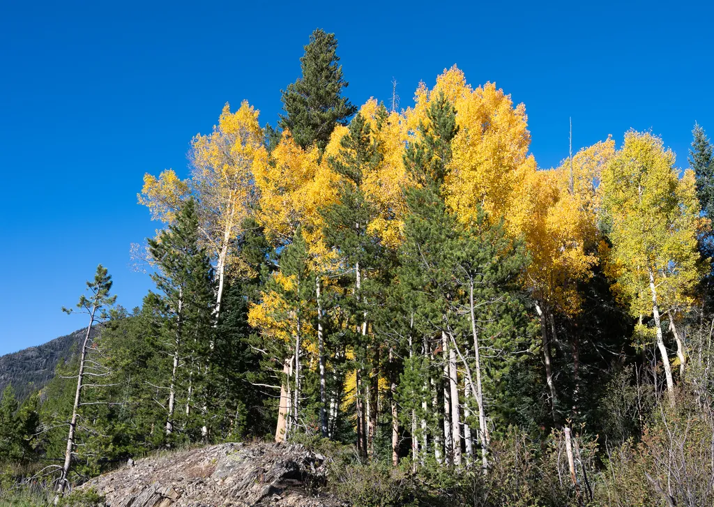
View Fall Colors on the West Side of Rocky Mountain National Park
~13 min drive
<p>Planning a trip to the west side of Rocky? This is a great time of year to view fall colors!<br /> <br /> September and October brings shorter days, cooler temperatures, bugling elk, and shifting colors. Explore the array of fall colors on the west side of Rocky Mountain Na…
Horseshoe Park
~13 min drive
<p>Horseshoe Park is a low-land meadow with small lakes, great views of the Mummy Mountain Range, and top-notch wildlife viewing opportunities.</p> <p><strong>West Horseshoe Park Pullout:</strong> This pullout contains limited parking spaces that can be used to access the surr…

Tonahutu Creek Trail
~15 min drive
27 mi · Expert