Loading trail…

Free — you'll pick up right here.
Watch this trail
Sign up to watch it — saving subscribes you to gate, closure and report changes.
Colorado
28.1 mi
Distance
4,164 ft
Gain
We won't guess. Here is exactly what we do and don't know.
What we do know
Inside Grand Mesa, Uncompahgre and Gunnison National Forests
2 managing-area boundaries mapped — agency alerts for them feed this page automatically.
Boundary data
What's missing
No access route mapped
We don't yet know which road reaches this trailhead, so we can't tell you if it's gated.
Nobody's filed a report here yet — be the first.
Why you'll love it
Horsethief Trial
AI-suggested draft · review before you go
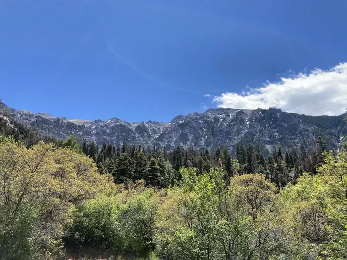
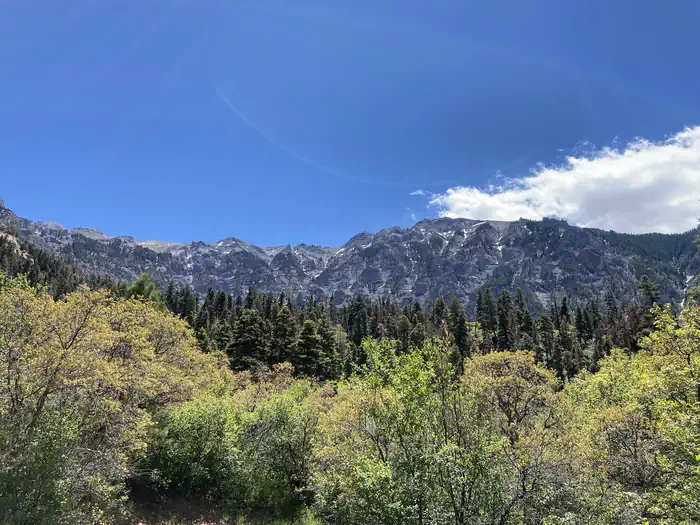
Horsethief Trail is a challenging 14-mile out-and-back route in Colorado's Ouray Ranger District, managed by the U.S. Forest Service. The trail gains 4,164 feet of elevation, making it a strenuous option best suited for experienced hikers with solid cardiovascular fitness. Located in the San Juan Mountains near Ouray, this trail offers substantial alpine terrain and mountain scenery. The elevation gain is distributed across the full distance, creating consistent climbing throughout the hike. The out-and-back format means hikers can turn around at any point if conditions warrant an early exit. This route is maintained by the Ouray Ranger District and lies within USFS land. Before heading out, check current trail conditions with the ranger district, as high-elevation terrain can be affected by weather and seasonal changes. Snow may persist into early summer at higher elevations, and afternoon thunderstorms are common in the San Juans during monsoon season. Prepare with adequate water, layers, and sun protection. The combination of distance and elevation gain requires a full day commitment and proper acclimatization if you're not adapted to high altitude.

Corbett
~3 min drive
5.2 mi · Hard
Oak Creek Trail
~3 min drive
6.5 mi · Expert
Twin Peaks
~4 min drive
2.1 mi · Easy

Cutler Creek Trail
~4 min drive
7.6 mi · Easy
Difficulty Creek Trail
~5 min drive
7.7 mi · Moderate

Portland Trail
~5 min drive
3.0 mi · Moderate

Alpine Mine
~8 min drive
2.3 mi · Moderate

Mears
~11 min drive
3.5 mi · Easy

Stealey Mountain North
~13 min drive
4.3 mi · Easy
Dexter Creek
~1 min drive
3.0 mi · Moderate