Loading trail…

Free — you'll pick up right here.
Watch this trail
Sign up to watch it — saving subscribes you to gate, closure and report changes.
Colorado
6.2 mi
Distance
1,048 ft
Gain
We won't guess. Here is exactly what we do and don't know.
What we do know
Inside Arapaho and Roosevelt National Forests
2 managing-area boundaries mapped — agency alerts for them feed this page automatically.
Boundary data
What's missing
No access route mapped
We don't yet know which road reaches this trailhead, so we can't tell you if it's gated.
Nobody's filed a report here yet — be the first.
Why you'll love it
Sawmill Snow
AI-suggested draft · review before you go
Sawmill Snow is a 6.2-mile out-and-back trail located in Colorado near the White River National Forest's Eagle-Holy Cross Ranger District. The route features 1,048 feet of elevation gain, making it a moderate day hike suitable for hikers with some experience. The trail is managed by the White River National Forest, ensuring it receives regular maintenance and upkeep. As an out-and-back route, hikers will retrace their steps on the return journey, allowing for flexibility in how far they wish to venture before turning around. This trail provides access to the White River National Forest ecosystem, offering an opportunity to explore the surrounding landscape and natural features of the Colorado high country. The elevation gain is distributed across the 6.2-mile distance, creating a gradual climb rather than steep pitches in most sections. Before heading out, check current conditions with the Eagle-Holy Cross Ranger District, as snow and weather can affect trail accessibility depending on the season. Bring adequate water, navigation tools, and prepared gear appropriate for mountain hiking in Colorado.

Blue Lake Trail
~1 min drive
2.2 mi · Moderate

Meadow Snow
~1 min drive
7.9 mi · Moderate

Blue Lake
~3 min drive
19 mi · Moderate

Thunder Pass
~11 min drive
1.1 mi · Easy
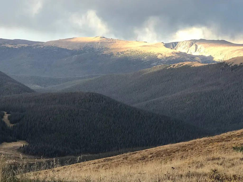
Medicine Bow Curve
~18 min drive
<p>Medicine Bow Curve provides a great location to view the northernmost areas of Rocky Mountain National Park.</p> <p>Looking to the horizon, visitors will see the Medicine Bow Mountains and the state of Wyoming. The Cache la Poudre river can clearly be seen flowing through t…

Colorado River Trail
~19 min drive
3.7 mi · Easy

Ute Trail
~19 min drive
9.2 mi · Easy
Long Draw
~0 min drive
26 mi · Moderate
Joe Wright Winter
~2 min drive
1.2 mi · Easy
Chambers Lake
~2 min drive
3.1 mi · Easy