Loading trail…

Beaver Creek Picnic Area
Free — you'll pick up right here.
Watch this trail
Sign up to watch it — saving subscribes you to gate, closure and report changes.
Colorado
We won't guess. Here is exactly what we do and don't know.
What we do know
Inside Rocky Mountain National Park
National Park unit boundary is mapped — agency alerts for it feed this page automatically.
Boundary data
Access via US 34: Milner Pass
Road status feeds from the state DOT 511 network.
State DOT 511 · 32 d ago
Nobody's filed a report here yet — be the first.
Beaver Creek Picnic Area
AI-suggested draft · review before you go
No elevation data on file for this trail.
At the Beaver Creek Picnic Area visitors will find a quiet spot for picnicking in the scenic Kawnueeche Valley. Picnic tables located on the top of a small hill provide an ideal viewing location for the wildlife that often visit this section of the meadow. During the Elk Rut in autumn, this location gives visitors an elevated viewing spot to watch wildlife from a safe distance. Tables: 4 Fire Grates: 4 Use of Portable Grills: No Keep wildlife wild. Remember to never approach wildlife and always stay at least 75 feet away from elk, moose, coyote, or any other large animals. 75 feet is the length of two school buses. Please help protect our park’s wildlife by practicing Leave No Trace principles! Always take your garbage with you and never feed the wildlife. For restrooms, visit nearby Beaver Ponds Picnic Area one stop south on Trail Ridge Road or Timber Lake trail head one stop north.
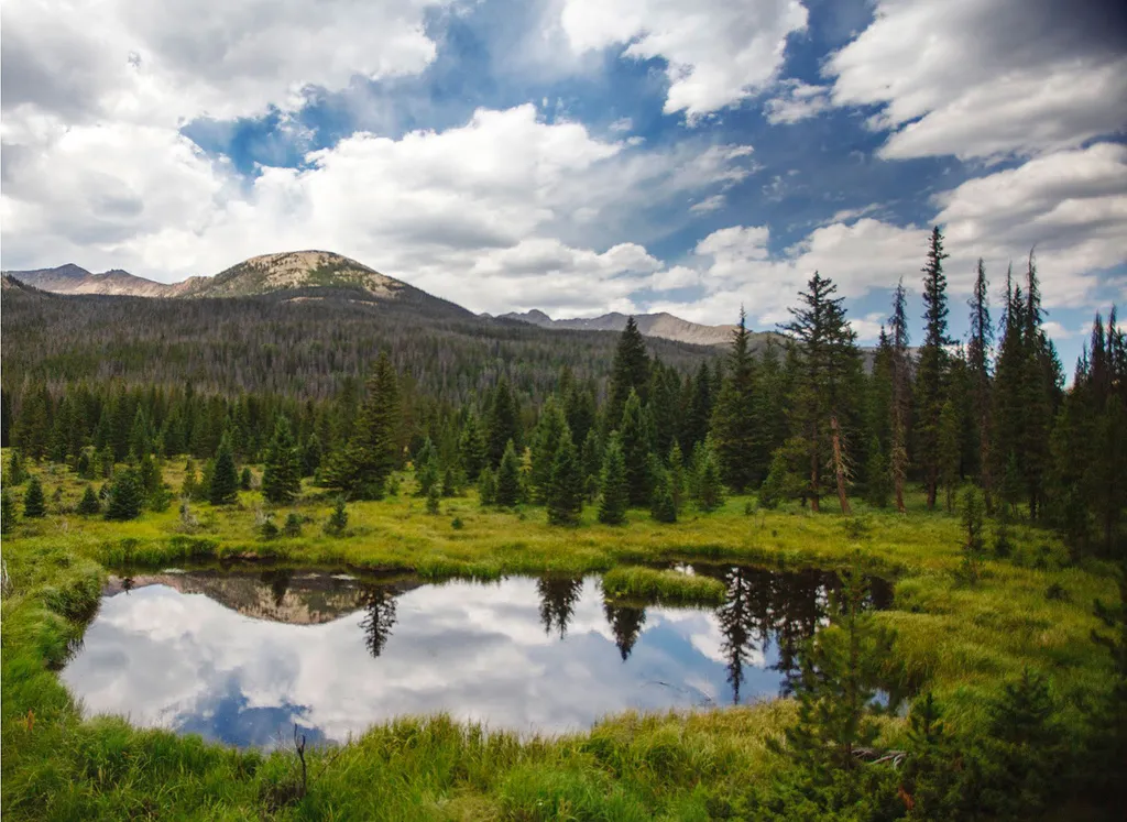
Beaver Ponds Picnic Area
~1 min drive
<p>Beaver Ponds Picnic Area is an excellent location to enjoy the peacefulness of the Kawnueeche Valley.</p> <p>This picnic area has tables overlooking two large ponds where visitors can enjoy the scenery while stopping to have a meal. Water sources like the ones found here pr…
Timber Lake Trail
~1 min drive
5.8 mi · Moderate
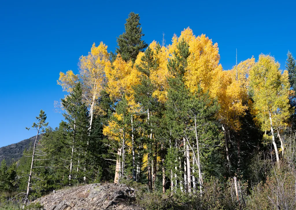
View Fall Colors on the West Side of Rocky Mountain National Park
~3 min drive
<p>Planning a trip to the west side of Rocky? This is a great time of year to view fall colors!<br /> <br /> September and October brings shorter days, cooler temperatures, bugling elk, and shifting colors. Explore the array of fall colors on the west side of Rocky Mountain Na…

Colorado River Trail
~3 min drive
3.7 mi · Easy

Grand Ditch Trail
~7 min drive
30 mi · Easy

Ute Trail
~10 min drive
9.2 mi · Easy

Bowen Gul Og Interp Trl
~10 min drive
1.0 mi · Easy
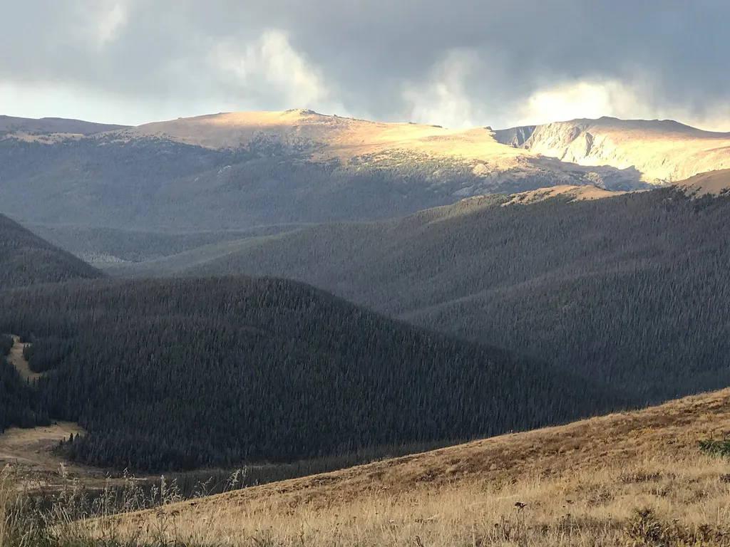
Medicine Bow Curve
~10 min drive
<p>Medicine Bow Curve provides a great location to view the northernmost areas of Rocky Mountain National Park.</p> <p>Looking to the horizon, visitors will see the Medicine Bow Mountains and the state of Wyoming. The Cache la Poudre river can clearly be seen flowing through t…

Thunder Pass
~11 min drive
1.1 mi · Easy

Tonahutu Creek Trail
~11 min drive
27 mi · Expert