Loading trail…

Free — you'll pick up right here.
Watch this trail
Sign up to watch it — saving subscribes you to gate, closure and report changes.
Colorado
1.0 mi
Distance
0 ft
Gain
We won't guess. Here is exactly what we do and don't know.
What we do know
Inside Rocky Mountain National Park
National Park unit boundary is mapped — agency alerts for it feed this page automatically.
Boundary data
Access via US 34: Milner Pass
Road status feeds from the state DOT 511 network.
State DOT 511 · 32 d ago
Nobody's filed a report here yet — be the first.
Why you'll love it
Colorado River Trailhead
AI-suggested draft · review before you go
Colorado River Trailhead is a short walk located near Colorado within National Park Service lands. At just 0.1 miles with minimal elevation gain of 3 feet, this is an accessible option for visitors of all fitness levels seeking a brief introduction to the area. The trailhead provides access to Colorado River views and the surrounding NPS-managed wilderness. Its modest distance makes it ideal for families, those with limited mobility, or anyone looking for a quick outing without significant physical demand. The flat terrain and short mileage mean most visitors can complete this walk in just a few minutes. As an NPS-maintained trail, it receives regular upkeep and follows established management guidelines. The proximity to Colorado and designation as a formal trailhead indicate this is an established access point rather than an informal or unofficial route. This walk works well as a complementary activity to longer hikes in the region or as a standalone visit for those with time constraints. Check with the managing National Park Service office for current conditions and any seasonal closures before your visit.
Timber Lake Trail
~0 min drive
5.8 mi · Moderate
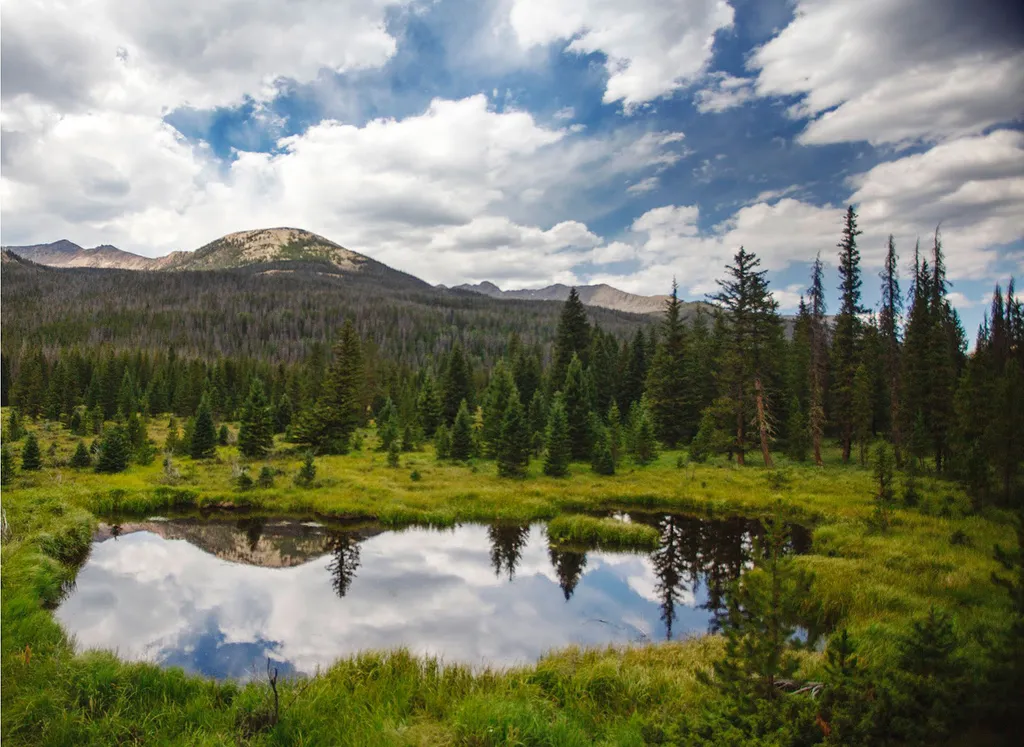
Beaver Ponds Picnic Area
~2 min drive
<p>Beaver Ponds Picnic Area is an excellent location to enjoy the peacefulness of the Kawnueeche Valley.</p> <p>This picnic area has tables overlooking two large ponds where visitors can enjoy the scenery while stopping to have a meal. Water sources like the ones found here pr…

Colorado River Trail
~2 min drive
3.7 mi · Easy
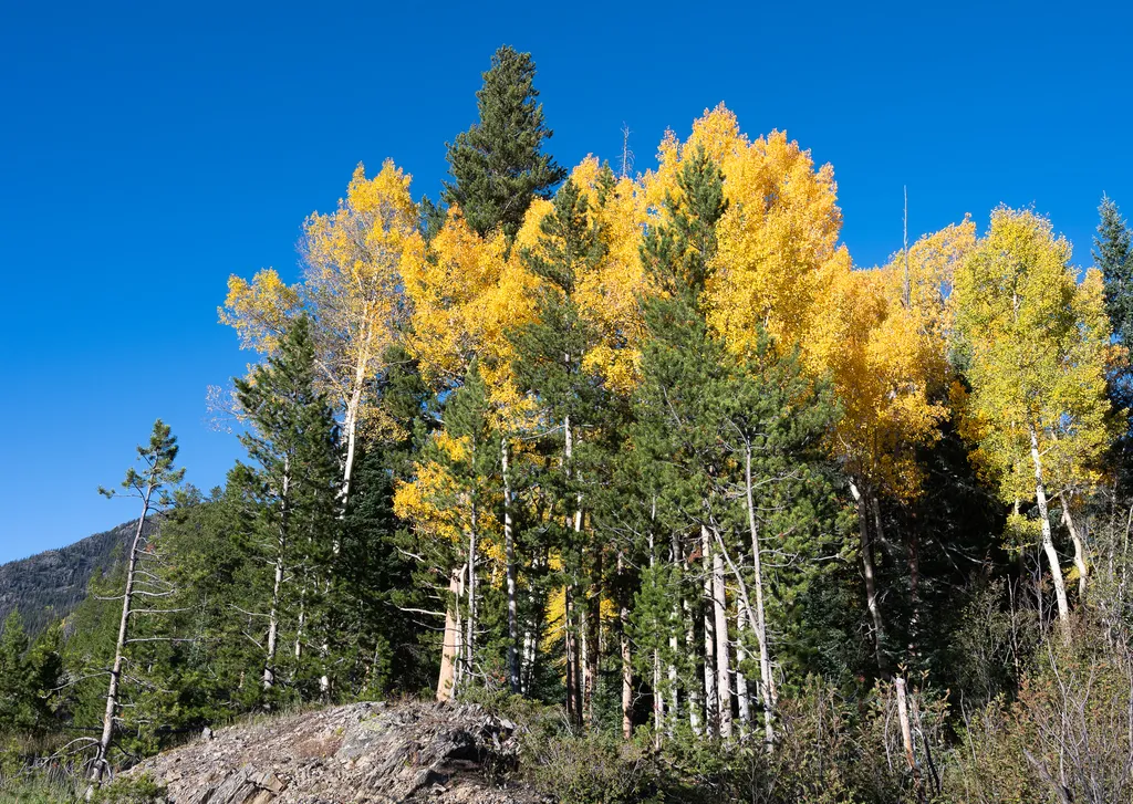
View Fall Colors on the West Side of Rocky Mountain National Park
~3 min drive
<p>Planning a trip to the west side of Rocky? This is a great time of year to view fall colors!<br /> <br /> September and October brings shorter days, cooler temperatures, bugling elk, and shifting colors. Explore the array of fall colors on the west side of Rocky Mountain Na…

Grand Ditch Trail
~7 min drive
30 mi · Easy

Ute Trail
~10 min drive
9.2 mi · Easy

Thunder Pass
~10 min drive
1.1 mi · Easy
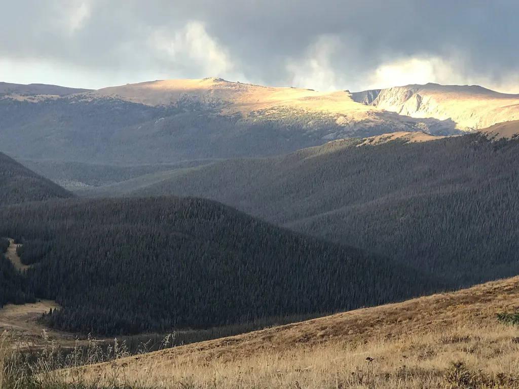
Medicine Bow Curve
~10 min drive
<p>Medicine Bow Curve provides a great location to view the northernmost areas of Rocky Mountain National Park.</p> <p>Looking to the horizon, visitors will see the Medicine Bow Mountains and the state of Wyoming. The Cache la Poudre river can clearly be seen flowing through t…

Bowen Gul Og Interp Trl
~11 min drive
1.0 mi · Easy

Tonahutu Creek Trail
~12 min drive
27 mi · Expert