Loading trail…

Free — you'll pick up right here.
Watch this trail
Sign up to watch it — saving subscribes you to gate, closure and report changes.
Colorado
2.9 mi
Distance
0 ft
Gain
We won't guess. Here is exactly what we do and don't know.
What we do know
Inside Rocky Mountain National Park
2 managing-area boundaries mapped — agency alerts for them feed this page automatically.
Boundary data
What's missing
No access route mapped
We don't yet know which road reaches this trailhead, so we can't tell you if it's gated.
Nobody's filed a report here yet — be the first.
Why you'll love it
Haynach Lake Trail
AI-suggested draft · review before you go
No permit or access details on file for this trail — check with the local land manager before you go.
Haynach Lake Trail is a 1.5-mile out-and-back hike located in Colorado. This trail is notable for its flat terrain, with no elevation gain, making it accessible for hikers of varying abilities. The route is managed by lwn and situated within the lwn wilderness area. The out-and-back format means you'll retrace your steps on the return journey, covering approximately 3 miles total if you hike to the lake and back. The lack of elevation change makes this an ideal option for families, those seeking a leisurely walk, or anyone looking for a low-impact outing. The trail's proximity to Colorado provides convenient access for both local and visiting adventurers. Given the minimal elevation gain and modest distance, Haynach Lake Trail can typically be completed in 1-2 hours depending on pace and time spent at the destination. This makes it suitable for a morning or afternoon excursion. Check current conditions and any seasonal closures with the managing agency before your visit.

Tonahutu Creek Trail
~3 min drive
27 mi · Expert
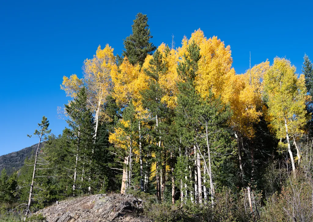
View Fall Colors on the West Side of Rocky Mountain National Park
~9 min drive
<p>Planning a trip to the west side of Rocky? This is a great time of year to view fall colors!<br /> <br /> September and October brings shorter days, cooler temperatures, bugling elk, and shifting colors. Explore the array of fall colors on the west side of Rocky Mountain Na…
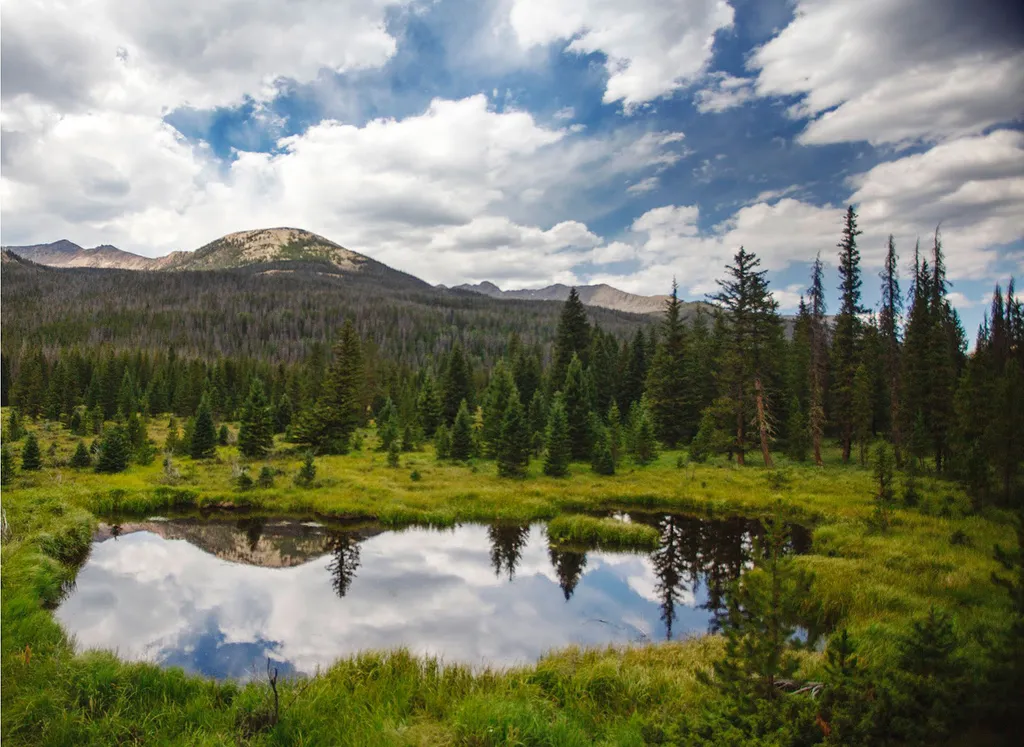
Beaver Ponds Picnic Area
~9 min drive
<p>Beaver Ponds Picnic Area is an excellent location to enjoy the peacefulness of the Kawnueeche Valley.</p> <p>This picnic area has tables overlooking two large ponds where visitors can enjoy the scenery while stopping to have a meal. Water sources like the ones found here pr…
Timber Lake Trail
~10 min drive
5.8 mi · Moderate

Fern Lake Trail
~11 min drive
15 mi · Moderate

Ute Trail
~11 min drive
9.2 mi · Easy

Bear Lake Trail
~11 min drive
0.7 mi · Easy
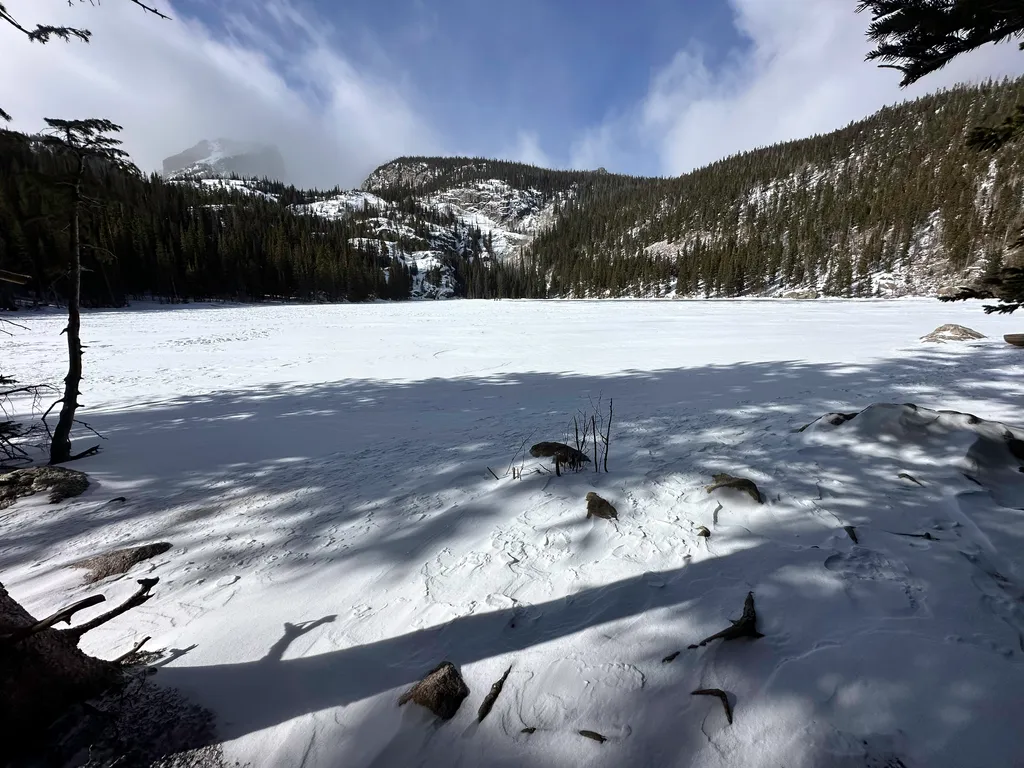
Bear Lake
~11 min drive
<p>Bear Lake Road ends 9.2 miles from the junction with Trail Ridge Road at the Parking Area for Bear Lake. From the parking area, take a short walk on a marked path to reach Bear Lake itself. Bear Lake offers spectacular scenic views of Bear Lake, Hallett Peak and the surroun…

Colorado River Trail
~12 min drive
3.7 mi · Easy
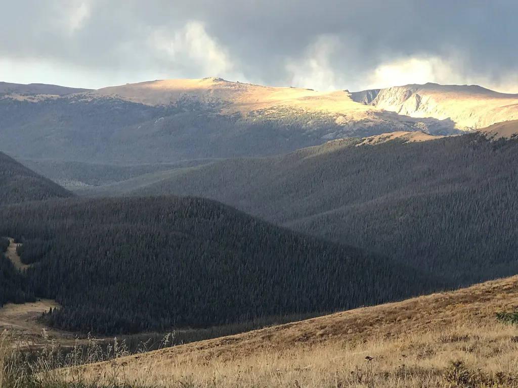
Medicine Bow Curve
~12 min drive
<p>Medicine Bow Curve provides a great location to view the northernmost areas of Rocky Mountain National Park.</p> <p>Looking to the horizon, visitors will see the Medicine Bow Mountains and the state of Wyoming. The Cache la Poudre river can clearly be seen flowing through t…