Loading trail…

Lake Irene Picnic Area
Free — you'll pick up right here.
Watch this trail
Sign up to watch it — saving subscribes you to gate, closure and report changes.
Colorado
We won't guess. Here is exactly what we do and don't know.
What we do know
Inside Rocky Mountain National Park
National Park unit boundary is mapped — agency alerts for it feed this page automatically.
Boundary data
Access via US 34: Milner Pass
Road status feeds from the state DOT 511 network.
State DOT 511 · 32 d ago
Nobody's filed a report here yet — be the first.
Why you'll love it
Lake Irene Picnic Area
AI-suggested draft · review before you go
No elevation data on file for this trail.
The Lake Irene Picnic Area is an ideal location to enjoy Rocky Mountain National Park’s sub-alpine ecosystem. There are several picnic tables available at this location and it is just a short walk to Lake Irene. After your picnic, stroll the 0.5 mile loop around this scenic lake to look for wildflowers in mid-summer. At this elevation, subalpine fir and Engelmann spruce are the iconic trees to see. Directly across Trail Ridge Road from the picnic area is Sheep Rock. Look closely at the top of this rock formation and you may find Bighorn Sheep perched upon it. Tables: 8 Fire Grates: 0 Use of Portable Grills*: Yes * The use of disposable or portable charcoal grills, wood fuel camp stoves, and gas grills is allowed for food preparation as adjuncts to fire grates provided by the park in auto campgrounds and picnic areas. Where portable grills are allowed, the used charcoal and ash must be completely extinguished and disposed of in trash receptacle. Note: Trail Ridge Road closes mid-October to Memorial Day. Extreme weather can change the status of Trail Ridge Road at any time—be ready to adjust your travel plans if needed, and always check the weather before you start your drive. Altitude Warning: Altitude sickness affects many visitors every year. Symptoms include headache, nausea, fatigue, dizziness, vomiting, and even unconsciousness. Altitude can also aggravate pre-existing conditions like heart and lung disease. Take your time, drink water, eat, and rest. The only cure for altitude sickness is to go down to a lower altitude. Help keep wildlife wild. Never approach or feed wildlife. Animals that learn people are a source of food can become aggressive or stop hunting or foraging on their own. Keep your distance - it's the law! You could be hurt or issued a fine.

Colorado River Trail
~3 min drive
3.7 mi · Easy
Timber Lake Trail
~3 min drive
5.8 mi · Moderate
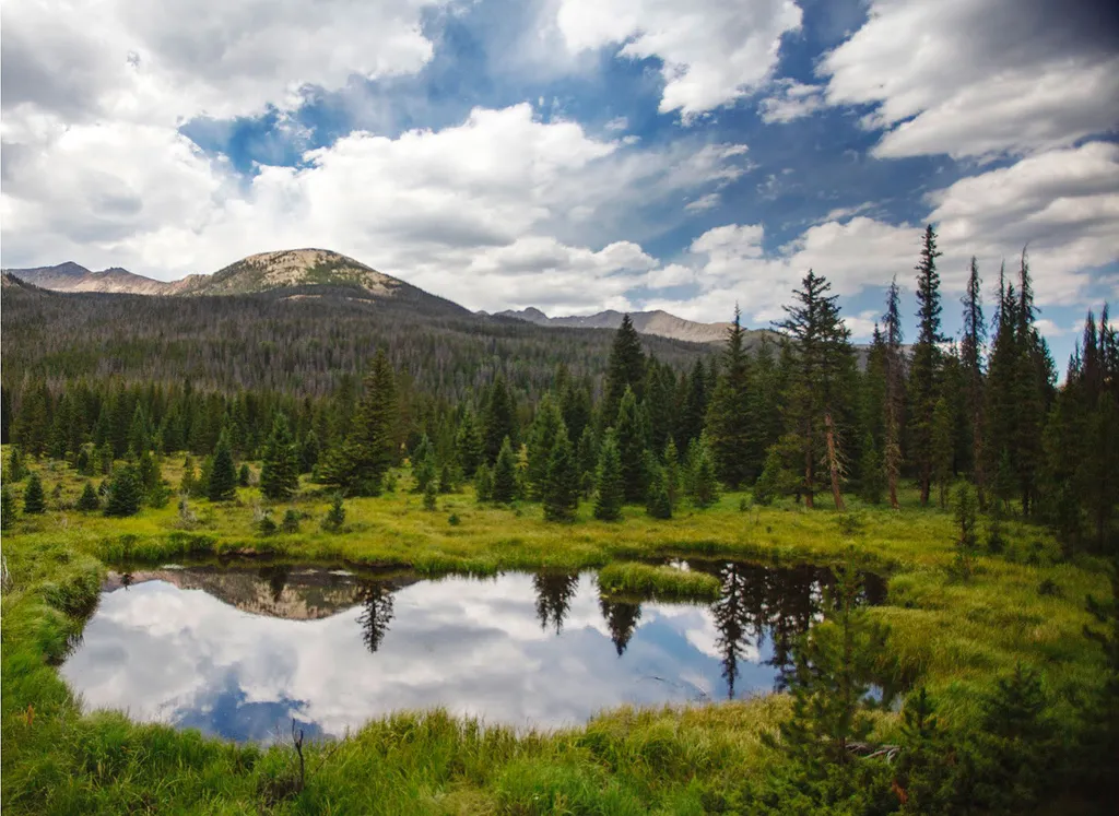
Beaver Ponds Picnic Area
~4 min drive
<p>Beaver Ponds Picnic Area is an excellent location to enjoy the peacefulness of the Kawnueeche Valley.</p> <p>This picnic area has tables overlooking two large ponds where visitors can enjoy the scenery while stopping to have a meal. Water sources like the ones found here pr…
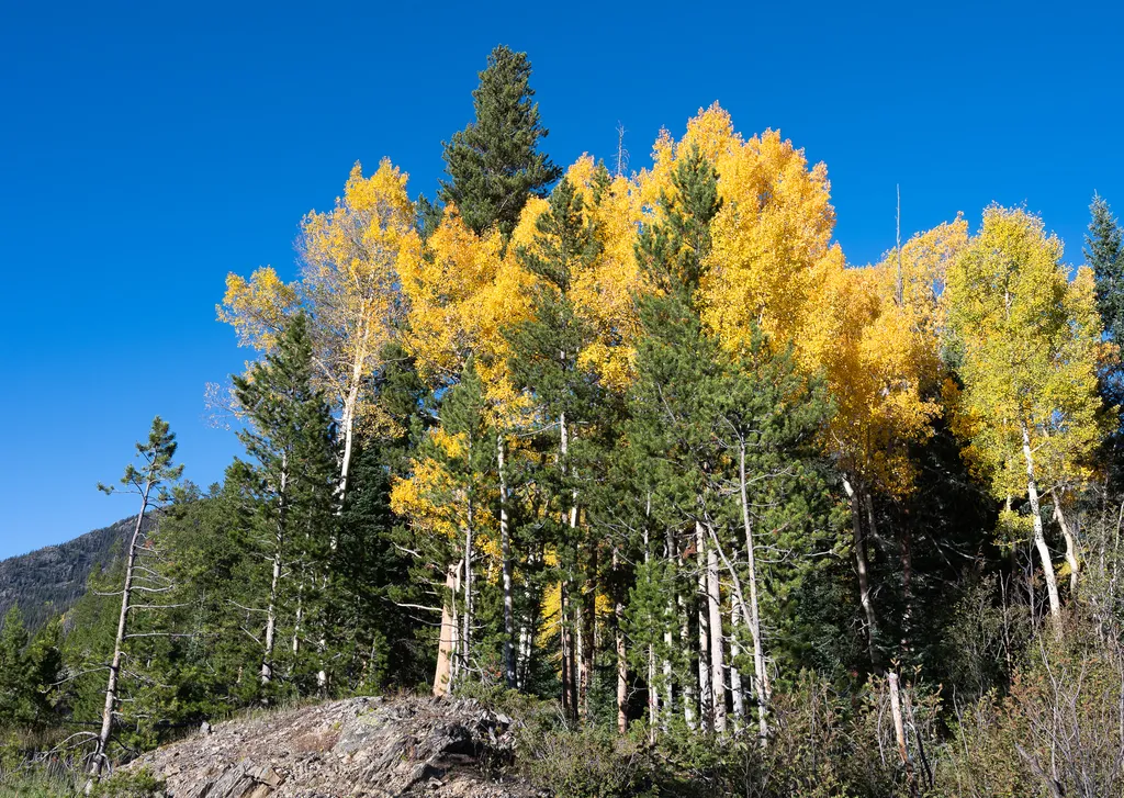
View Fall Colors on the West Side of Rocky Mountain National Park
~6 min drive
<p>Planning a trip to the west side of Rocky? This is a great time of year to view fall colors!<br /> <br /> September and October brings shorter days, cooler temperatures, bugling elk, and shifting colors. Explore the array of fall colors on the west side of Rocky Mountain Na…

Ute Trail
~7 min drive
9.2 mi · Easy
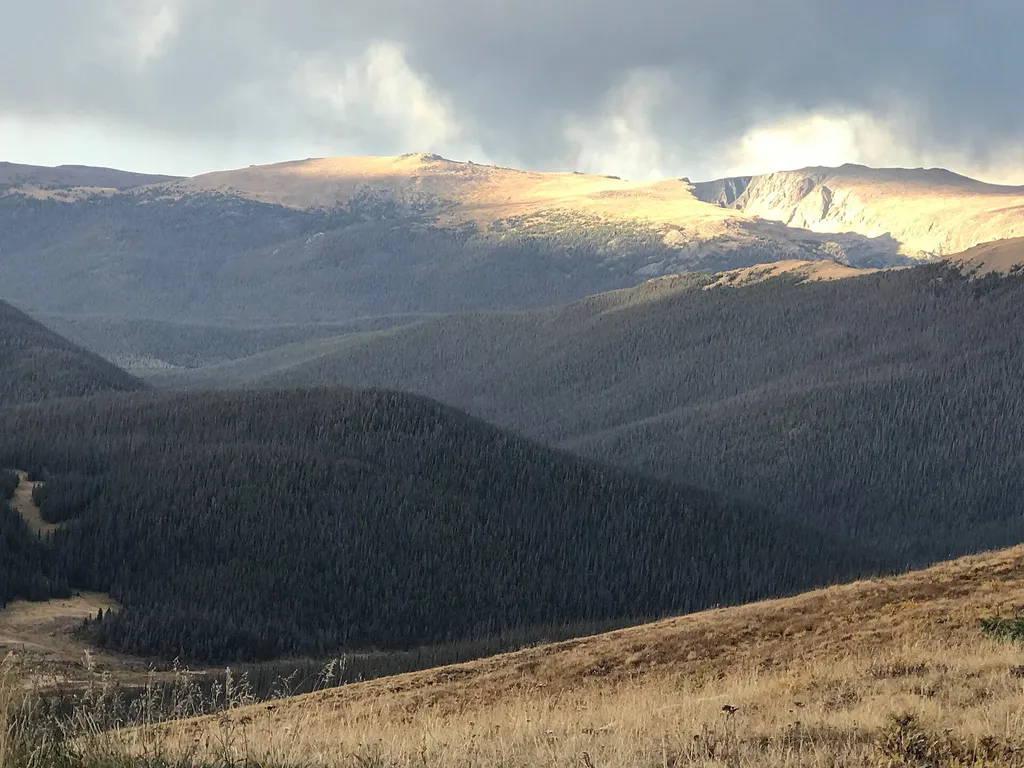
Medicine Bow Curve
~7 min drive
<p>Medicine Bow Curve provides a great location to view the northernmost areas of Rocky Mountain National Park.</p> <p>Looking to the horizon, visitors will see the Medicine Bow Mountains and the state of Wyoming. The Cache la Poudre river can clearly be seen flowing through t…

Thunder Pass
~10 min drive
1.1 mi · Easy

Grand Ditch Trail
~10 min drive
30 mi · Easy

Tonahutu Creek Trail
~12 min drive
27 mi · Expert

Bowen Gul Og Interp Trl
~13 min drive
1.0 mi · Easy