Loading trail…

Free — you'll pick up right here.
Watch this trail
Sign up to watch it — saving subscribes you to gate, closure and report changes.
Colorado
3.3 mi
Distance
1,497 ft
Gain
We won't guess. Here is exactly what we do and don't know.
What we do know
Inside Grand Mesa, Uncompahgre and Gunnison National Forests
3 managing-area boundaries mapped — agency alerts for them feed this page automatically.
Boundary data
What's missing
No access route mapped
We don't yet know which road reaches this trailhead, so we can't tell you if it's gated.
Nobody's filed a report here yet — be the first.
Why you'll love it
Okeson
AI-suggested draft · review before you go
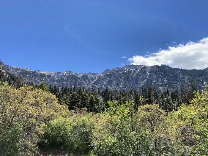
Okeson Trail is a 3.5-mile out-and-back hike located in Colorado near Routt National Forest's Yampa Ranger District. The trail features 1,497 feet of elevation gain, making it a moderately challenging day hike. This out-and-back route allows hikers to turn around at any point, making it flexible for different fitness levels and time constraints. The elevation gain is distributed across the 3.5-mile distance, creating a steady climb to the turnaround point. Okeson Trail is managed by the Yampa Ranger District of Routt National Forest, ensuring maintained conditions and adherence to forest service regulations. The trail offers access to the natural landscapes characteristic of the Yampa area in northwestern Colorado. Hikers should come prepared for moderate elevation gain and bring adequate water and sun protection. Check current conditions with the Yampa Ranger District before heading out, as trail conditions can vary seasonally.

Cutler Creek Trail
~3 min drive
7.6 mi · Easy
Difficulty Creek Trail
~4 min drive
7.7 mi · Moderate

Corbett
~5 min drive
5.2 mi · Hard
Oak Creek Trail
~6 min drive
6.5 mi · Expert
Twin Peaks
~7 min drive
2.1 mi · Easy

Portland Trail
~7 min drive
3.0 mi · Moderate

Stealey Mountain North
~10 min drive
4.3 mi · Easy

Alpine Mine
~11 min drive
2.3 mi · Moderate
West Fork Sno
~12 min drive
5.4 mi · Easy
Left Fork Cutler Creek
~0 min drive
3.2 mi · Easy